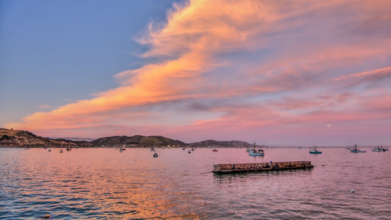
We are locked into a common seasonal pattern of night and morning marine low clouds, followed by 15-25mph northwesterly winds and afternoon clearing. Some of the clearing at beaches can be partial. This will take place again Friday.
Temperatures will be generally mild because of it. Even inland temperatures will back off from the 90s of earlier this week.
The one issue into the early morning hours is the re-issuance of a wind advisory for the Santa Barbara county high country and passes and canyons for N-NW winds 20-30 with gusts to 45mph.
The passes are the primary concern but as we have already seen this year with this kind of wind potential any fire in the advisory area could spread quickly due to the pace of the winds.
The Marine layer could be a bit more stubborn Saturday, the winds should start to slow a bit.
A pattern shift develops Sunday into next week when a ridge of high pressure starts to dominate the area. Inland temps warm back past 90, even mid-90s but marine presence will keep coastal valleys in the 70s and beaches in the 50s and 60s.
The weekly lake level update continues to show some low levels.


