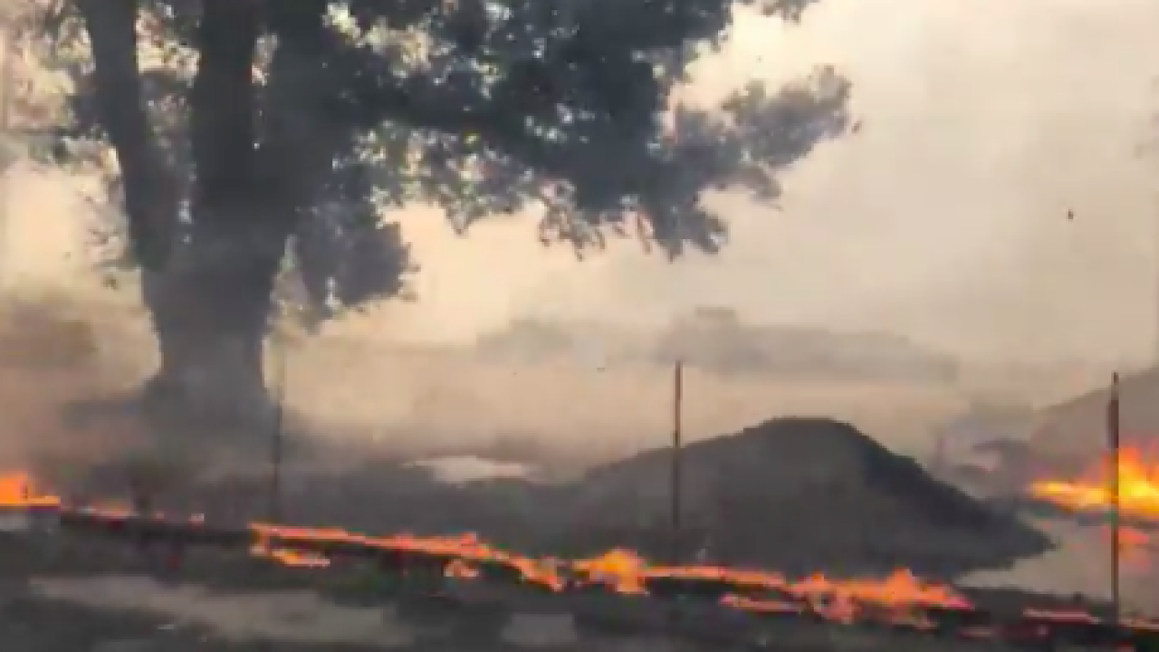

IRVINE, Calif. - The fast-moving Silverado Fire is threatening several homes in the Santiago Canyon area near Irvine forcing the evacuation of 60,000 residents Monday morning.
The blaze erupted just after 6:45 a.m. in the area of Santiago Canyon and Silverado Canyon roads., and within an hour consumed about 50 acres.
Crews are battling flames and smoke amid strong wind gusts. The region is under a large plume of smoke creating unhealthy air quality prompting warnings to residents to stay indoors and limit outdoor activity.
MAP MAY TAKE TIME TO LOAD.
EVACUATION CENTERS
This story was first reported by Mario Sevilla at KGTV in San Diego, California.
