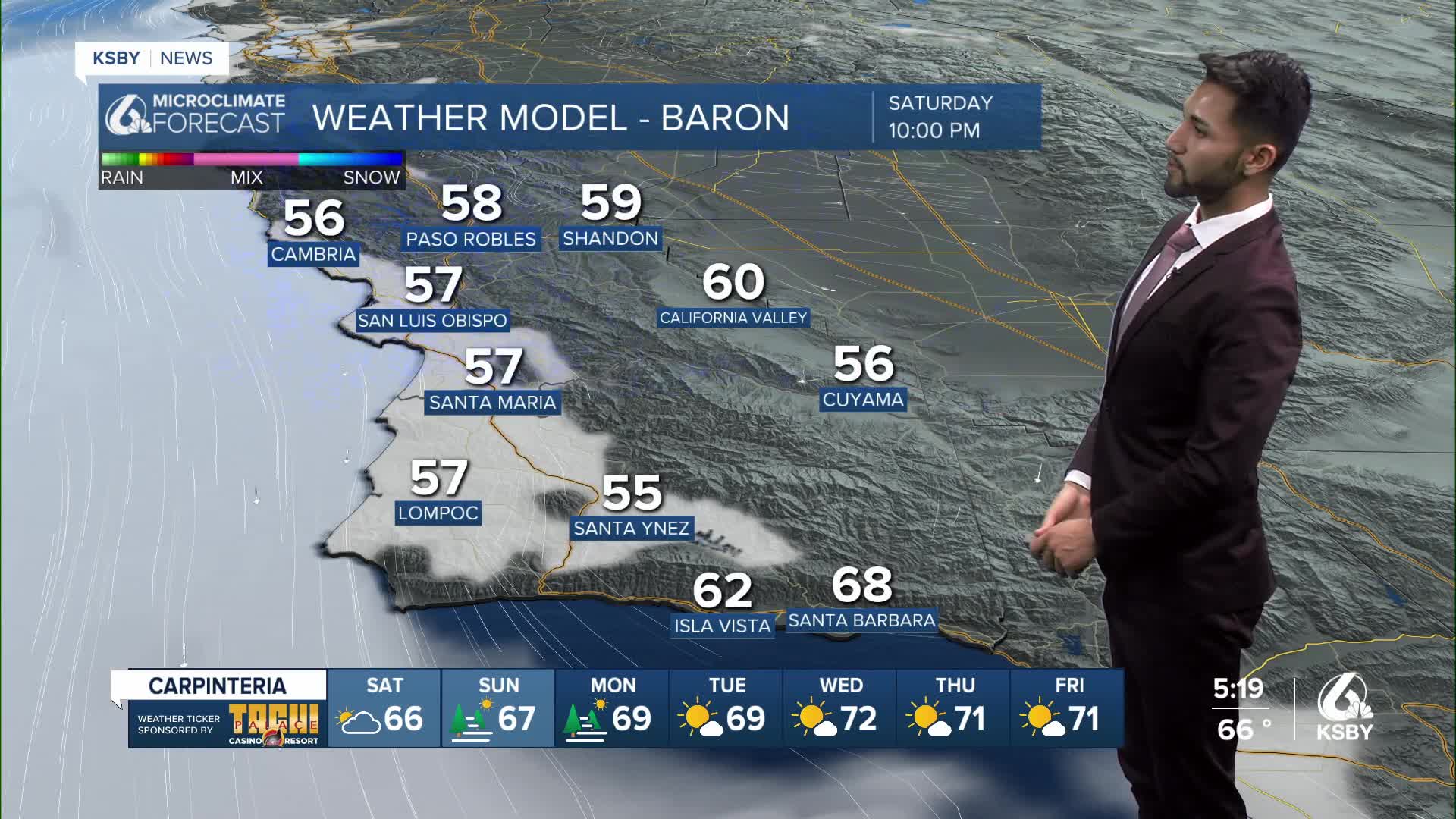


There is currently a cooling trend in place through Saturday.
Coloer conditions on the Central Coast have been influenced by the upper-level low that is over Central California, but the system is expected to weaken on Saturday.
For tonight and Saturday, the marine layer inversion will deepen a bit, and marine layer clouds should push a bit further inland.
Patchy marine drizzle may occur.
Sundowner winds are expected to remain sub-advisory and confined to the western half of the Santa Ynez Range, with a gradual decrease in wind speeds through the weekend.
By Saturday night into Sunday, high pressure will start to increase, which will reduce the depth and coverage of the marine layer stratus.
Below normal temperatures with minor day-to-day temperature fluctuations are expected through Saturday.
By Sunday, most areas should warm up a few degrees due to less extensive marine layer clouds and an increase in temperatures.
-Eddie
