


Hey, Central Coast! I hope your weekend has been amazing!!!
A cooling trend is in place through Saturday. However, a pattern of onshore flow is expected at least through the middle of next week as a trough of low pressure remains in place across the Pacific Northwest.
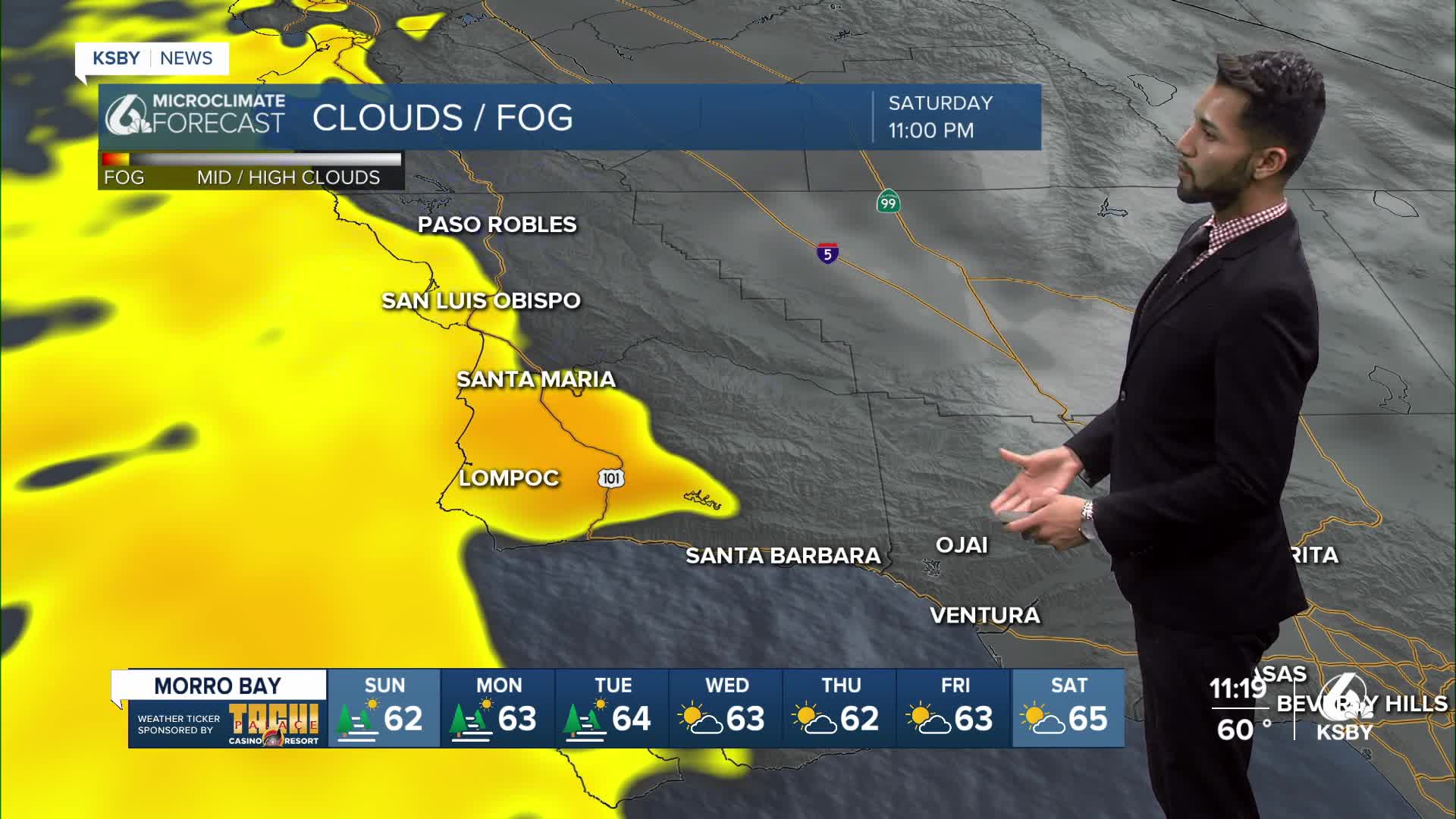
Night through morning, low clouds and fog will continue to spread across most beaches and coastal valleys.
The trough will help to maintain a steady dose of daily marine layer clouds at least for the coast and some valleys, but low clouds will decrease inland as high pressure lowers the marine layer depth.
A slow warming trend will begin Sunday, but temperatures will remain below normal into next week.
High temperatures by Tuesday will still be slightly below normal.
Have a wonderful weekend, Central Coast!
-Eddie
