


Good Morning Central Coast!
Grab that extra layer this morning as it is another cold one out there! Lows before dawn will fall into the 20s in the interiors while the coast will be in the 30. This is once again cool enough for a frost advisory to be in place until 9AM for the Coastal Valleys.

That being said just because your area isn't in this advisory doesn't mean it will not be cold. Many temperatures in the 20s are expected this morning in the interior valleys. The National Weather service issues these advisories based on where there is an impact that is not typically (or not recently) seen. Typical lows in the interiors fall below 32 frequently and have many times in the last few weeks so they, despite being colder, are not included in the advisory.
Other than that there is still a high surf advisory in place for western beaches through 10 pm tonight. Continued waves 7-10 ft and dangerous rip currents are combining with high tides to make for hazardous conditions on the water. Continue to take caution.
Aside from the cold morning we will continue to see plenty of sunshine over the next few days as a ridge of high pressure pushes north. This is acting like a barricade between the West Coast and the active pattern of storms brewing in the northern pacific. The clockwise flow of winds around these high pressure systems is diverting the active weather north into Canada and keep us nice and dry.
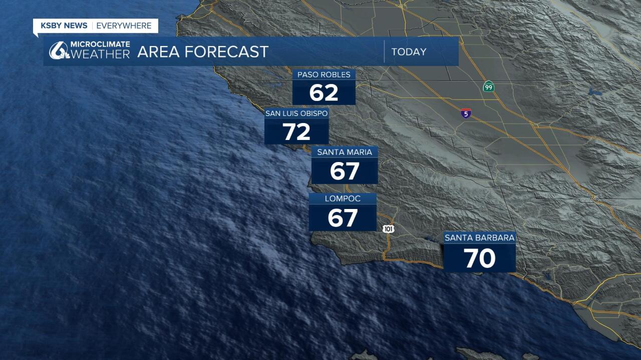
With all this sunshine and some winds from the south will push highs into the upper 60s and even some 70s today. When getting ready... layers are the name of the game.
Thursday will feature even more sunshine and continued 70s in some coastal valleys.
Friday things will start to change. The high pressure that has kept us dry and mild will weekend and begin to let a few storms into our region. This will mostly come in the form of cooler than average temperatures and cloud cover but as we look into the extended forecast from the Climate Prediction Center there is some indication that the pattern will shift to allowing a few small storms into the area in the 8-14 day outlook.
Early February could bring us some light rain but if we do see those ran chances materialize, the amount of rain looks to be minimal.
Have a great day Central Coast!
