


Happy Sunday, Central Coast!
Minimal changes in the forecast are expected through midweek.
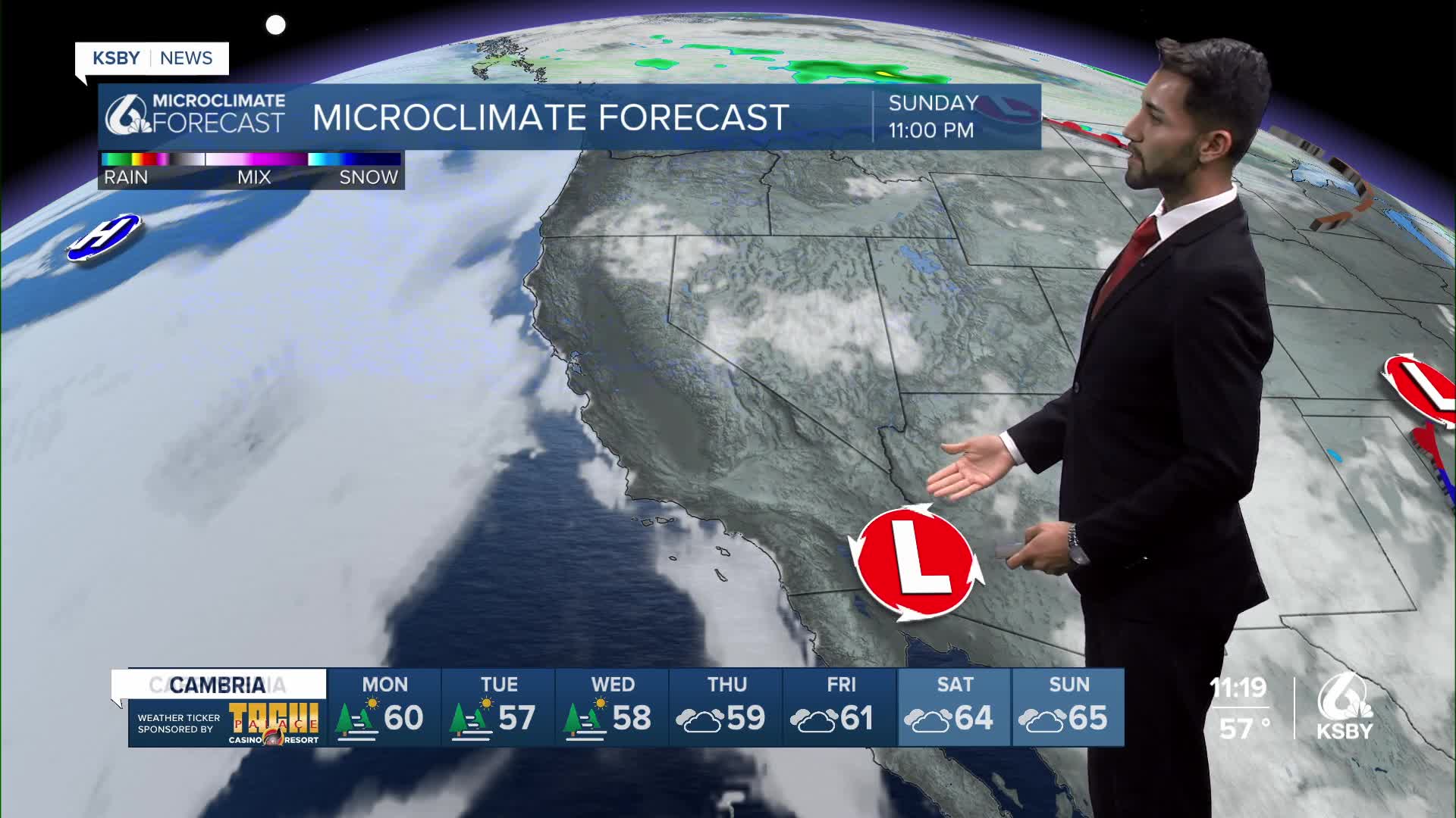
A weak high-pressure system will remain over California with slight changes through Monday morning, and it will continue to break down over Monday night through Wednesday.
Strong onshore flow will continue with winds peaking during the afternoon hours, both to the east and to the north.
Due to onshore flow, night through morning, low clouds and fog will continue to make an appearance in coastal valleys, with slow to minimal clearing for west-facing beaches.
An early return of marine layer clouds will also occur due to strong onshore trends.
With the deep marine layer in place, patchy drizzle may occur across the beaches and coastal valleys during the morning hours on Monday and Tuesday.
Daytime high temperatures on Monday will be very similar to Sunday, with 70s across the coasts, mid to upper 60s on the beaches, and the 80s and lower 90s in the valleys.
However, with no marine influence, some interior communities, like Cuyma, will continue to see high temperatures from 100 to 105.
Lastly, gusty onshore winds will continue across interior areas and foothills each afternoon and evening.
These winds will be near advisory levels, but only a few of the typical gusty locations will see gusts near 45 mph.
Have a wonderful week, Central Coast!
-Eddie
