


Good Morning Central Coast!
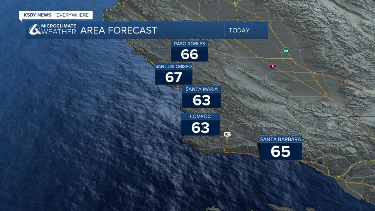
To kick off the work week we will see absolutely wonderful weather. Highs will once again climb into the 60s and it is even possible for some 70s in the Santa Ynez valley. Enjoy it though as these wonderful conditions will not last.
Enjoy the temperatures and calm conditions for President's Day, the overall pattern is going to get... complicated. A set of storms imbedded in a deep trough off of our coast will bring strong winds first and then a string of rain chances will move in through to the weekend.
First the initial cold front will push through dropping temperatures and bringing some strong winds. This system will track south from Canada and bring in the colder air but will have very little moisture associated with it.
Winds will be the major impact Tuesday, there is indication that some gusts across southern California could reach upwards of 70mph. There are already high wind watches in place for the Chanel Islands as well as on our South Coast through 6AM Wednesday Morning.

I expect advisories and other wind alerts to be issued for the entirety of the Central Coast in advance of these winds. Gusts will be commonly up to 40mph with sustained winds upwards of 20mph for most of the region.

The winds will peak in the afternoon Tuesday but lingering gusts are expected to last into Wednesday morning.
Once winds calm, we will be in store for the next system. Models continue to indicate small chances for light rain Wednesday but best chances would likely be in the mountains and across SLO and northern Santa Barbara Counties. Even though the precip chance is low, cold air will move in and will drop snow levels for the rest of the week. Spoiler alert... that is going to be impactful later in the week.
Snow levels will have already dropped to around 2000 by Wednesday morning so there is a chance for light snow across the Santa Lucias and other low mountain elevations of SLO/Santa Barbara Counties as well as the Grapevine on Interstate 5.
Thursday and Friday air continues to cool as a couple more rain systems move through. Highest elevations in the Central Coast areas could see light snow down to around 1100 ft or slightly lower, meaning places like Paso Robles and Atascadero along Highway 101 as well as Cuyama could see light snow and possibly around the hills surrounding San Luis Obispo, Santa Maria, and Santa Ynez. This risk is limited to the overnight hours but still may be impactful for morning commuters.
Daytime highs will take a dramatic drop Tuesday into Wednesday. Max temps will struggle to get much past 50-55 for much of the week.
A slightly more robust system will move through on Friday and bring a chance for a bit more rain. Current models like 1 to 3" of rain but we will have a better idea as soon as the high resolution models get a hold on those storms.
Have a great day Central Coast!
