

This article was last updated at 10:04 p.m. on July 7, 2025. For the latest updates on the Madre Fire, click here.
MADRE FIRE
- 80,603 acres
- 35% containment
- Highway 166 closed between Highway 101 and Highway 33
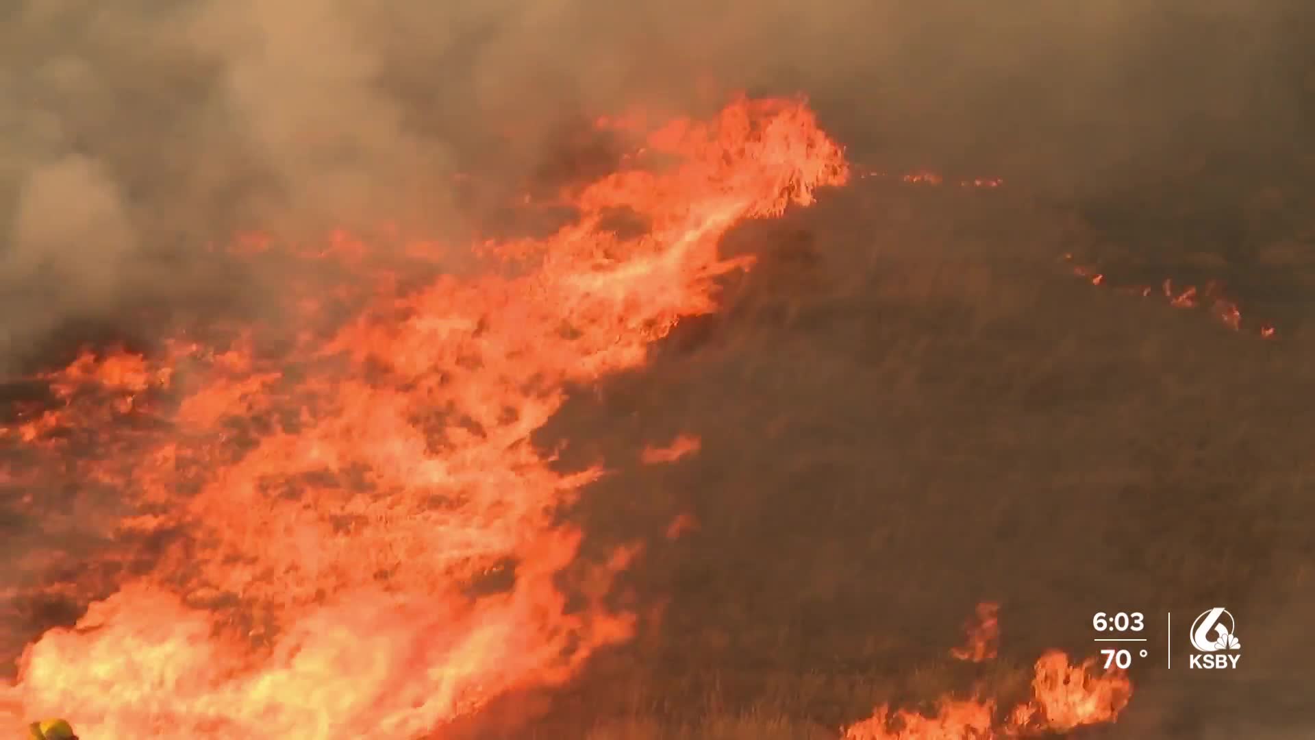
UPDATE (9:54 p.m.) - The Madre Fire has burned 80,603 acres and is 35% contained, according to the U.S. Forest Service. There are over 1,500 personnel working to contain the fire. According to the Bureau of Land Management, about 50% of the fire is at the Carrizo Plain National Monument. According to Operations Section Chief John Chester, the opening of Highway 166 from Santa Maria to New Cuyama is "likely tomorrow."
___
UPDATE (4:48 p.m.) - Fire officials will hold a virtual meeting about the Madre Fire tonight (Monday, July 7) at 7:30 p.m. on the Los Padres National Forest Facebook page.
Please join us tonight July 7th,2025 at 7:30 pm for the #MadreFire virtual community meeting. We will answer public questions regarding the Madre Fire after the presentation. pic.twitter.com/80FojZfFkD
— San Luis Obispo County Fire Department (@CALFIRE_SLO) July 7, 2025
___
UPDATE (4:34 p.m.) - The Madre Fire has burned 80,603 acres as of Monday afternoon, according to CAL FIRE.
The Santa Barbara County Air Pollution Control District has canceled an Air Quality Alert and Watch associated with the fire.
___
UPDATE (12:58 p.m.) - All evacuation warnings in Kern County have been lifted.
___
(11:26 a.m.) - The Madre Fire, burning in San Luis Obispo County, has burned 80,480 acres as of Monday morning and is 30% contained.
The fire broke out on Wednesday, July 2, along Highway 166 between Santa Maria and Cuyama, and spread to the north and east.
Fire officials say firefighters today are working to strengthen containment lines along the north and northwest perimeters. Along the northeast and southwest sides of the fire, dozer operations are reinforcing lines and hand crews are working in terrain that is difficult for dozers to access.
There are 1,472 fire personnel assigned to the Madre Fire.
WATCH: Day 6 update from Madre Fire Public Information Officer
While the fire is burning mostly in wildland areas, there are evacuation orders and warnings in place:
San Luis Obispo County Evacuation Orders: Zones LPF-017, SLC-226, SLC-240, SLC-263, SLC-264, SLC-265, SLC-298, SLC-299, SLC-300, SLC-312, SLC-313, SLC-337 SLC-338, SLC-339, and SLC-358.
San Luis Obispo County Evacuation Warnings: Zones SLC-225, SLC-239, SLC-266, SLC-301, SLC-359, SLC-365, SLC-366, and SLC-367.
Kern County Evacuation Warnings: Zones KRN-245, KRN-249, KRN-259, and KRN-281-B.
Santa Barbara County Evacuation Warnings: East of Rock Front, west of Cottonwood Canyon Road, and south of Highway 166.
WATCH: How to determine your evacuation zone in SLO County
Highway 166 remains closed between Highway 101 and Highway 33. There is no estimated time for reopening.
All Bureau of Land Management lands in the Carrizo Plain National Monument are also closed to public access due to the fire.
The cause of the fire remains under investigation.
