
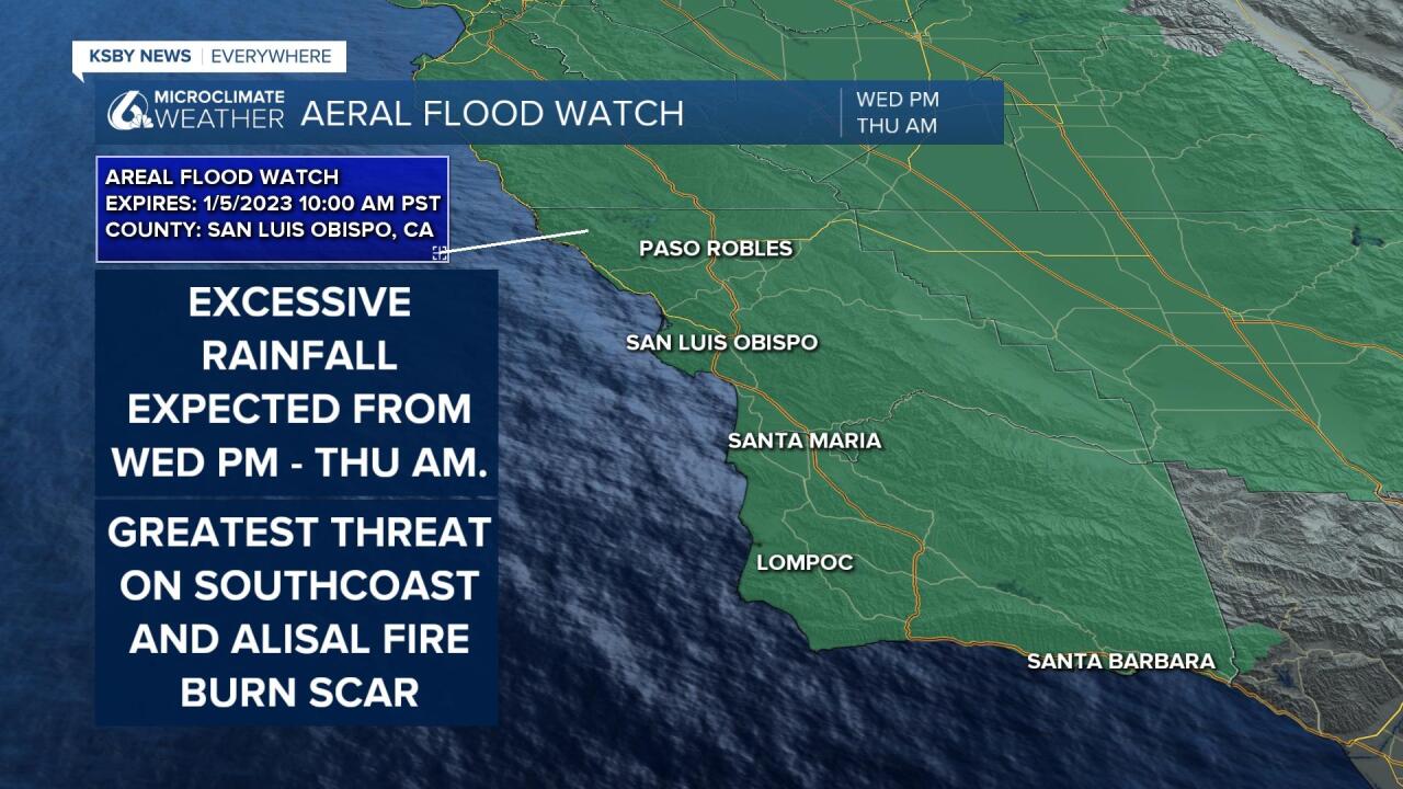
Ahead of tomorrow night's heavy rain a flood watch has been issued for ALL of the Central Coast.
Rainfall rates of 1"+ per hour are possible.
This will bring the greatest risk of flooding to burn scars, specifically the Alisal Burn scar on the Gaviota Coastline. Streams and low lying poor drainage areas also have a large risk.
Here is a look at what to expect from Wednesday's storm.
The evening hours Tuesday will see the beginnings of our next strong storm. This will come in the form of added cloud cover and light rain in the overnight hours. By Wednesday morning the first of two heavy bands of rain will begin. This portion will be associated with the warm front and will have slightly less oomph to it than the later band of rain.

This first band of rain will bring accumulations from a couple tenths of an inch up to half an inch. Nothing to scoff at but very little when compared to the second half of the storm.
By evening Wednesday the main cold front will make its way to us and bring the bulk to the rain, wind and overall storm impact. Within this band of rain rainfall rates up to 1" an hour are possible and will continue for several hours. This will likely cause some flooding in poor drainage areas and creek beds. Additionally the south coast will pick up a large portion of this rain. Take extra caution near the Alisal Fire Burn Scar on the Gaviota Coastline.

During this two day period rain totals will range from 1-1.5" in the interior valleys and 2-3.5 along the coastal valleys. Topography will play a huge roll in the accumulations with peaks and south facing slopes bringing much higher rain potential.

High winds will accompany this storm system as well. There is a high wind warning in place for the SLO and SB county Mountain areas, from Wednesday morning through late Wednesday night. South winds 35 to 45 mph with gusts up to 60 mph are possible.

