


Good Morning Central Coast!
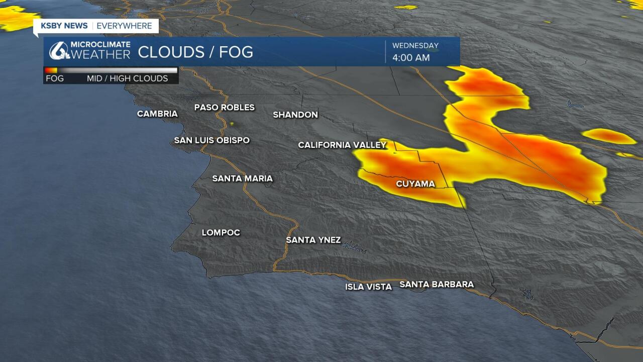
To kick off our Wednesday there is a little bit of fog lingering in the interior valleys. Visibility on Hwy 166 will be very limited going through the Cuyama valley. Take caution.
Aside from the fog the one thing that many will notice is just how chilly it is this morning. The combination of cold air brought in by our latest storm combined with minimal cloud cover, light winds and dry air make for the perfect combination for temperatures to drop rapidly. Temps will be below 32 in the interior valleys and close to the 32 critical point in our coastal valleys this morning.
Because of all the cold air the National Weather Service has issued a frost advisory for the Edna Valley, the Santa Maria Valley, the Lompoc Valley, the Santa Ynez Valley, and the Southcoast. This means overnight lows will be cold enough in this area to potentially produce frost which could damage sensitive plants. People with concerns should be taking precautions prior to 1 am. The advisory lasts until 8 am.

Other than that the forecast looks pretty steady into and thru the coming weekend. Afternoon high temperatures will be in the 50s with a 60 or two along the south coast. Interiors will stay in the 40s.

Looking into the rest of the forecast we will see a few extra clouds Thursday as a cold front and low pressure nears the region. This will not make its way quite close enough for rain so we will need to make due with the clouds. That will clear out quickly but even when it clears not much will happen with the temps. Highs in the 60s are expected with lows in the low 30s through the forecast/
No rain is in our 7-day forecast. In fact, the current GFS computer model suggests that rain isn't likely through its 16-day run. Unfortunately that means it is likely that we are done with rain for the year.
Have a great day Central Coast!
