


Good Morning Central Coast! Monday was a hot one across much of the Central Coast's interiors as high pressure continues. That pattern will stick around for today as well as we kick off another day with abundant marine influence.
Most coastal valleys and our western beaches will see lots of marine cloud and fog. San Miguel and Paso Robles will also see low morning visibilities as more fog makes its way down the Salinas river valley.

Southern California has a number of heat watches and excessive heat warnings in place through this evening but thankfully there are no local advisories.
Even though there are no local advisories the interior valleys of SLO county and parts of Santa Barbra county and the Southcoast will be significantly warmer than average.

This is due to a huge ridge of high pressure over The West. This creates surface high pressure which squishes the more dense marine air out of the interior valleys and the N-S flow pattern will keep the South Coast warm as well. Those winds are also causing sundowner gusts along the Gaviota coastline that could reach advisory level. This has also kept marine clouds out of the region.
However, there are parts of the area that are wondering what all the fuss is about. The west-facing beaches and near coastal valleys will see a quick return of marine low clouds this morning and will take the vast majority of the morning hour to clear.
Later this week a cold front punches thru the ridge and temps the second half of the week into the weekend will cool significantly.
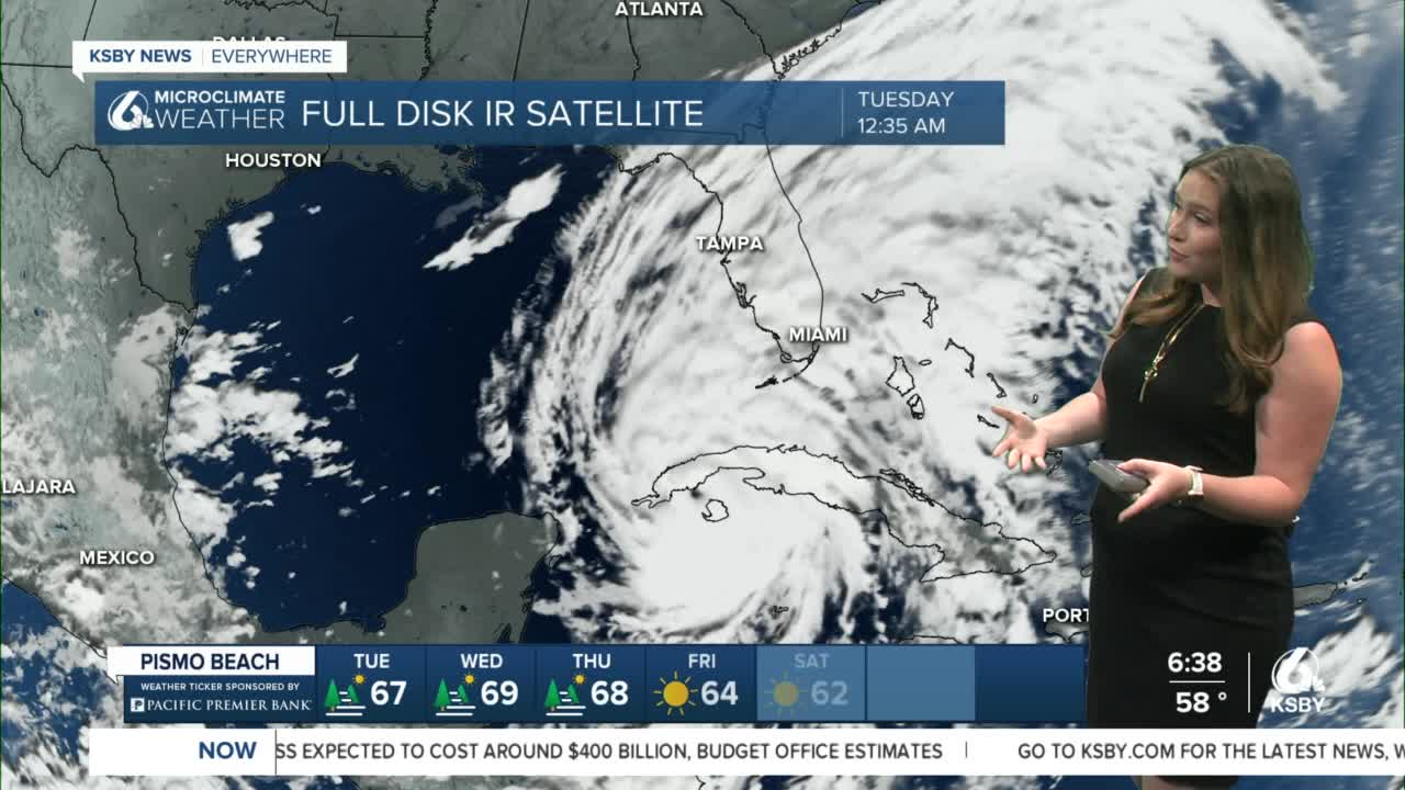
For those following Hurricane Ian here is a look at the storm as of 10 AM Tuesday Morning.
Have a great day Central Coast!
