


Good Morning Central Coast! We made it to Friday and things are looking great for the weekend so let's dive in!
There is a little bit of fog lingering along the coasts this morning, while that is nothing new it could limit visibility in a few areas, mainly in the valleys and western beaches of Santa Barbara county.

Elsewhere clear conditions are sticing around with a full moon to boot. for areas that are clear the moon is stunning before sunrise illuminating the light sky. Check out this look over Avila Beach just before 4:30 AM.

Because of the full moon even areas that are clear may have trouble seeing any of the Persid meteor shower.
It is not a forecast that currently has many twists nor turns in it. At the beaches and near coastal valleys it is more night and morning cloud cover with afternoon clearing and temps slightly warmer than average. Inland temps are warmer than average with the marine-influenced air too low to get into the interior valleys. Daily highs are more impacted by the strength of high pressure. Afternoon winds 10-20 with some locally higher winds from the NW.
Along the Santa Barbara County South Coast there is some gusty winds, this is prompting a wind advisory through 9am for the Gaviota Coastline, wind gusts up to 45mph are possible.

A very similar wind set up is exp
All of this stays pretty steady because a right of high pressure has an axis off to our east with a trough to the west. The Central Coast has some SW flow aloft which keeps the monsoon to the east for now.
The thing to watch is the deeper extended forecast, the 8-14 day outlook. Modeling continues to show the potential for the western ridge to essentially back up and take a position closer to us.
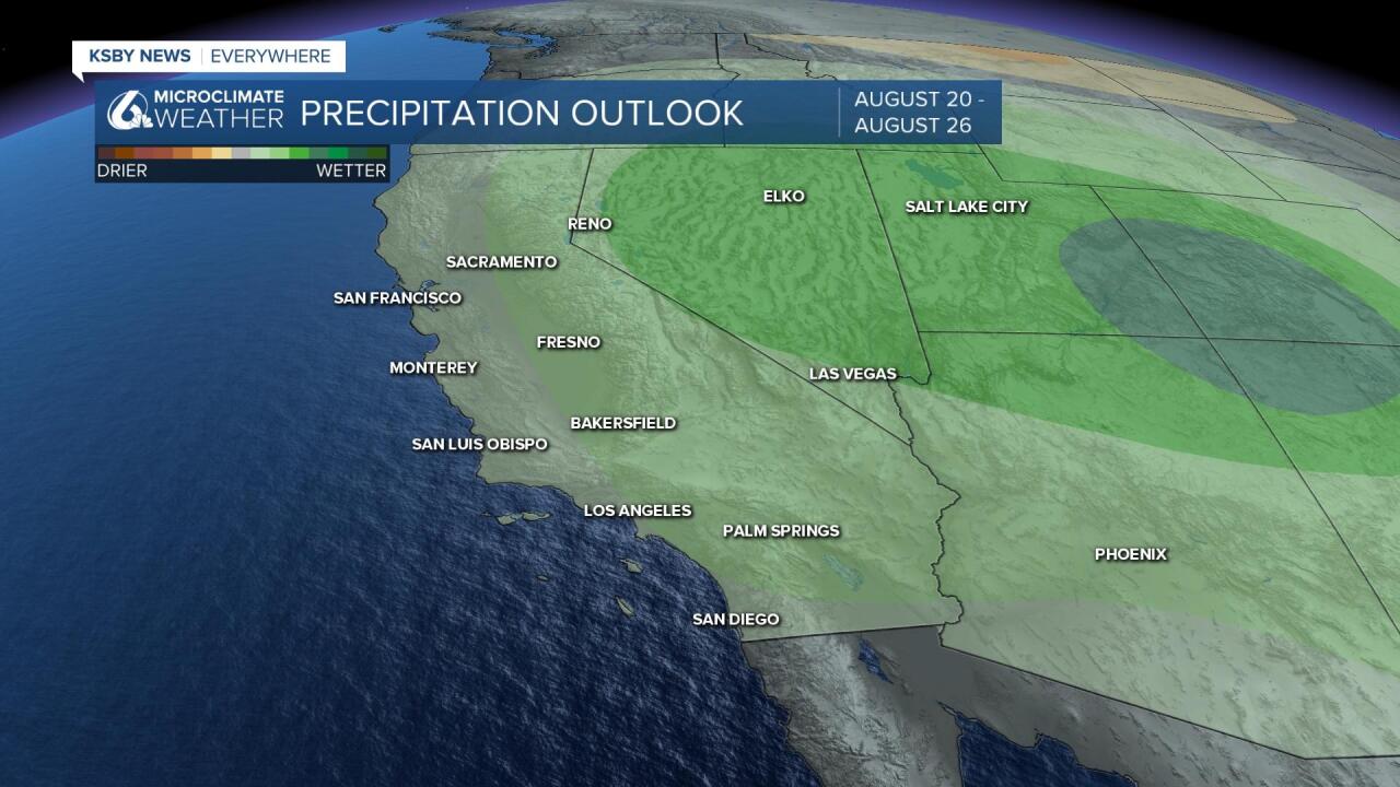
This opens the door for westward migration of muggy unstable air and also reinforces some potential for hot air.
The combination of both could lead to showers and scattered thunderstorms. Now, this is still some time out, but interestingly the monsoon activity of the last week actually improved the drought picture in the state with a slight reduction of exceptional and extreme drought in eastern CA. Locally there are no changes.
This is about as good as drought news gets in mid-August.
Have a great day Central Coast!
