


Update11:30 AM:
Some showers have popped up in northern SLO county, they are moving quickly and bringing a little very much needed rain.

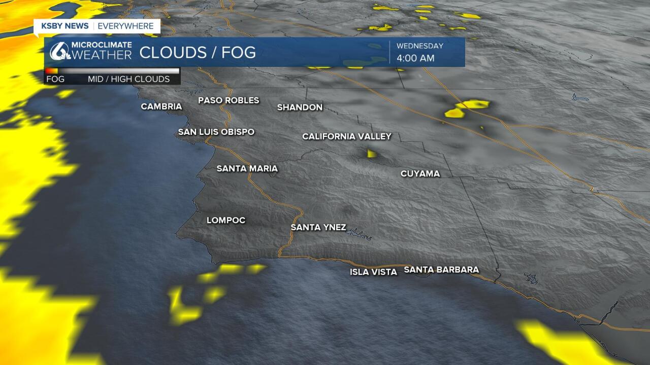
Good Morning Central Coast! To kick off our Wednesday the marine layer is quite minimal. Only a few areas will see any fog this morning.
This is not our normal pattern, for sure. strong and persistent winds from the South East are pushing through the region. This will bring more humidity and some clouds through the day time hours.
This shift to monsoon instability did creep into the region Tuesday night and even produced a few small rain showers in the SLO and 5 cities area. Accumulations were minimal but for the first time in quite a while they were non-zero.

Through the middle of the daytime hours it is likely that more isolated rain showers become possible as the monsoon moisture continues to push through the region. I think these will be limited to the coasts of San Luis Obispo County.
Tuesday the Central Coast saw much of the interior crack 100 while a wide variety of temps were found elsewhere.
The heat advisory that has been in place for days is still in place through 8PM that will remain in place thru Wednesday evening for the deep interior for more hot weather locally over the next few days.

The Southern Salinas River Valley will see some easing of temps Wednesday but 100 is still on the table, not quite warm enough to join the advisory area but close.
Away from the interior, the same temperature trend is there: down a little. The marine presence will fluctuate over the next few days but no huge swings as marine presence smooths out the spikes in trends near the coast.
While Wednesday will likely see some temp drops, Thursday and Friday likely see temps recover. Inland heat could return to the 100-105 range Friday and coastal valleys in the upper 70s and 80s (limited change at beaches).
The weekend will see a much more significant drop in temps, back down to average inland Saturday and even below average Sunday before more warming early next week. Again coastal valleys and beaches will follow the trend direction but the changes in temps will likely stay within a 5-7 degree range.
The reason for the drop Wednesday will be that SW flow aloft returns for a short stay, this is generally a moderating direction this time of year for the Central Coast. There is also a mid-level low working thru that flow. Thursday and Friday ridging returns. The weekend will see an upper-level low work thru the PacNW which will weaken regional high pressure a little and allow for some cooling. Once it departs it looks like a larger ridge develops for more warm inland weather as we draw close to the end of the month.
Have a great day Central Coast!
