


Detailed forecast:
A low-pressure system will continue to linger off the northern California coast through Monday, keeping temperatures on the cooler side, with a steady dose of marine layer stratus that may reach into the coastal valleys Sunday night.
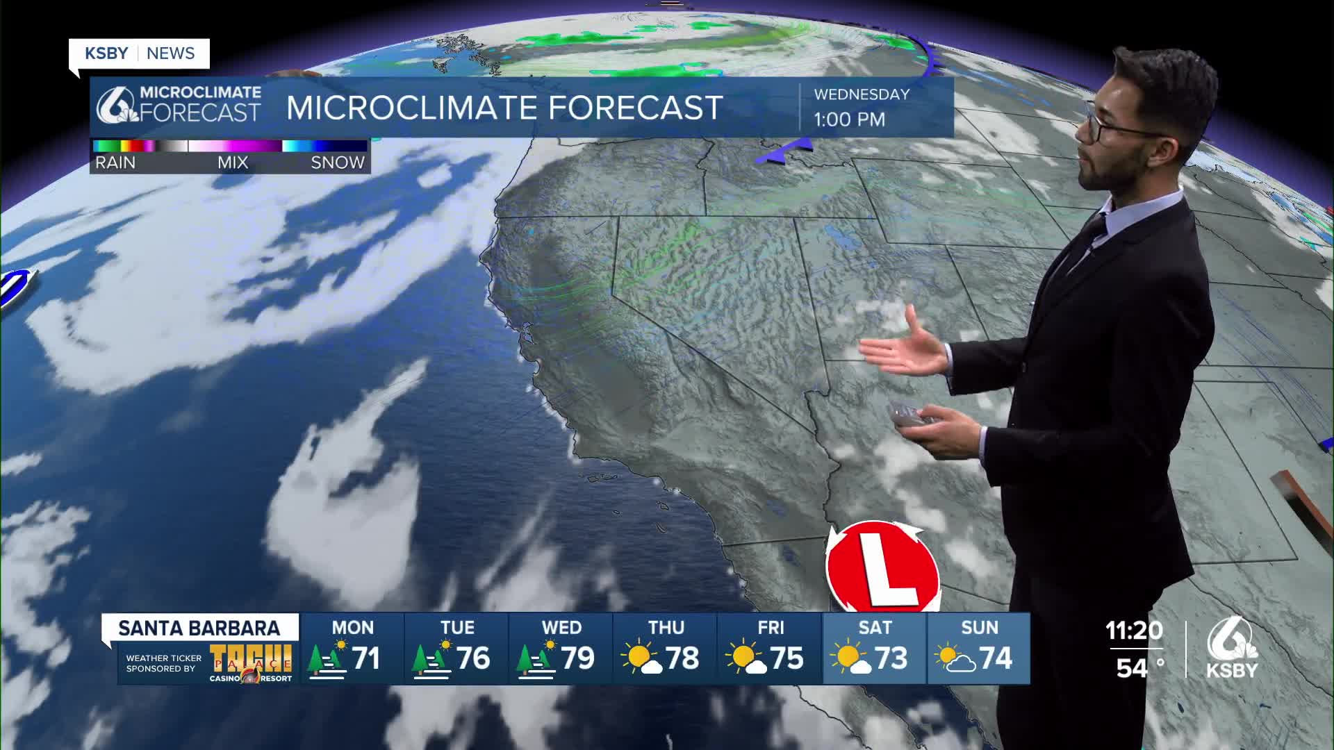
Daytime highs on Monday are expected to be very similar or slightly cooler than Sunday. Temperatures will either be below or near normal.
However, more extensive low clouds and fog are expected on Monday morning as the upper low moves slightly to the south, causing the marine layer and onshore flow to increase.
As the upper low will slowly get nudged to the north and then east, high pressure over Arizona will expand to the west, bringing a warmer air mass into California.
A warming trend begins on Tuesday, but temperatures will peak on Wednesday and Thursday, with most temperatures 6 to 12 degrees above normal.
Heat away from the coast may be hazardous to outdoor workers and those without air conditioning.
There may be a little change or slightly warmer on Thursday, then a cooling trend will develop Friday through next weekend as onshore flow increases in response to another weak upper low moving into the Pacific Northwest and northern California.
The ridge over southern California will weaken slightly as well, but remain in place.
Have a great week, Central Coast! Remember to stay hydrated, wear sunscreen, and stay in the shade during the warming trend.
-Eddie
