


Good Morning Central Coast!
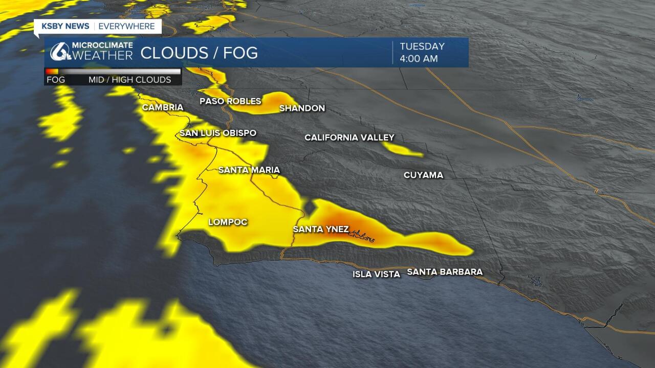
As we kick off the workweek int he wake of the 4th of July holiday we are still seeing a large amount of dense fog that has filtered in and is sticking around through much of the morning.
The lowest visibility will be in some of the coastal valleys where the fog is much more entrenched into the valleys. Take extra caution on roads where this is the case.
Morning temperatures are up from just yesterday but in the whole temperatures are still on the cool side. Highs in the 60s and 70s are expected in most Central Coast communities. Mid 80s are possible today in the interior valleys.
The reason for the cool weather is a trough just off the West Coast. This encourages inshore breezy conditions with a deep marine influence capable of reaching the interior.
This trough lingers into Wednesday but lifts north for the second half of the week. This will return inland temps to the triple digits in the extended forecast.
Marine influence is sticking around into the next few days but as that trough lifts north later this week sunshine and warm (if not hot) weather returns. Highs in the triple digits return by the weekend.
Have a great day Central Coast.
