Our last rain system delivered quite a punch in the area with anywhere from 1-7+" of rain across the area for the two-and-a-half-day storm. The good news is that the small surplus on rain for the season (which began Oct. 1st) grew. This is good because winters in California can go from very wet patterns to long dry spells. Weather is very rarely "average".
Several more systems will roll thru the region: one Saturday, another Monday, and also Wednesday of next week.
The Saturday rain looks to arrive in the morning and slide N-S thru the area wrapping up in the evening.
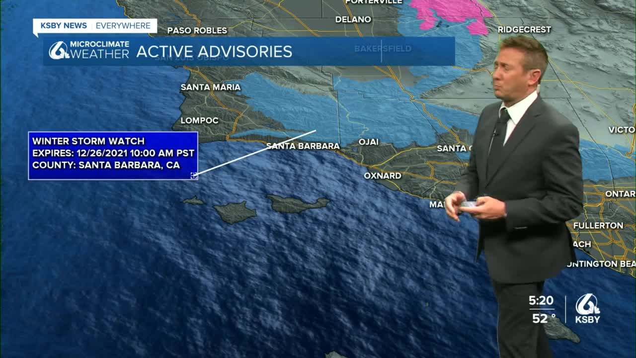
At this point, they all look to have similar rain potential in the .5-1+" range. They'll be moving faster so they are splash-and-dash type storms. However, snow levels will be an issue. The Saturday storm will see snow levels drop down to 3500 to 3000ft which is pass-level snow. The Grapevine will be a particular travel issue. The Monday storm is even colder and could see snow down to 2500ft which could put snow in parts of the hills of the Central Coast and Cuyama Valley foothills. A winter storm watch is already in place for the first system Saturday, here are the details:
Snow levels drop to around 2500` late Monday night into Tuesday morning and 6 to 12 inches of snowfall is possible at higher elevations.
With the jet stream trough over the area, the highs will generally remain in the 50s and lower 60s.
The Wednesday system is still a way out there but looks similar to the Saturday and Monday systems, we'll dial in specifics as it draws closer.
Models continue to struggle with the end of next week but more often dry solutions are popping up for NYE and NYD and I'm going with that for now but I'd recommend following the forecast for potential changes due to the confidence in this part of the forecast.


