


Happy Friday, Central Coast!
Low clouds on the Central Coast were influenced by onshore flow and an upper low over Central California.

However, a shift in the weather pattern is expected this weekend, with high pressure building over the central states on Saturday and Sunday.
Meanwhile, at the surface, moderate onshore flow will continue to the east with weakening northerly offshore flow.

Stratus clouds may become more widespread by sunrise.
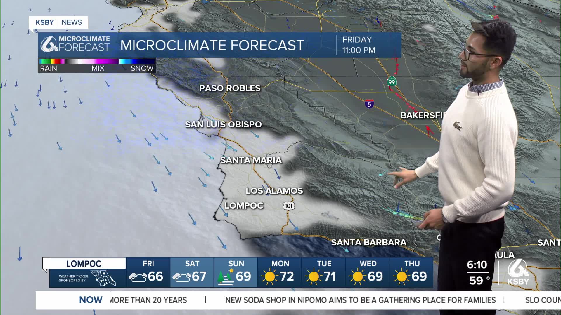
For tonight and Saturday, the marine layer inversion will deepen a bit, and marine layer clouds should push a bit further inland.
By Saturday night into Sunday, high pressure will start to increase, which will reduce the depth and coverage of the marine layer stratus.
Northerly offshore flow will move in through Sunday, but will gradually weaken from one night to the next.
There will continue to be Sundowner winds across the western half of the Santa Ynez range, but winds will gradually decrease in strength.
As for temperatures, expect a cooling trend for Friday and Saturday.
By Sunday, most areas should warm up a few degrees due to less extensive marine layer clouds and an increase in temperatures.
Have a wonderful weekend, Central Coast!
-Eddie
