


Happy Thursday, Central Coast!
An upper-level trough of low pressure over the Pacific Northwest continues to bring cooler air and onshore flow into the Central Coast.

Onshore flow will continue to push marine layer clouds into our beaches, coastal valleys, and possibly some areas of the interior Thursday night into Friday morning.
However, the morning low cloud coverage should be very similar through Saturday.
There will be another round of gusty southwest sundowner winds across the southwestern portion of Santa Barbara County, affecting Gaviota and Refugio this evening.

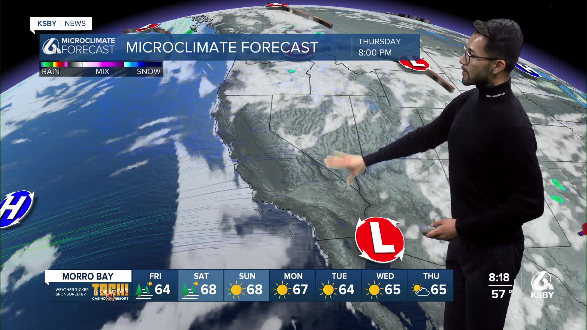
High pressure from the east will build over California this week, creating a slight warming trend, primarily affecting our interior valleys.
By Sunday, the trough of low pressure to the north will begin to weaken, allowing the ridge of high pressure from the east to slightly extend into California and bring some warming to our inland communities.


Models have indicated there will be a slight decrease in onshore flow this weekend, which will also help bring warm temps to the area.
Have a wonderful day, Central Coast!
-Eddie
