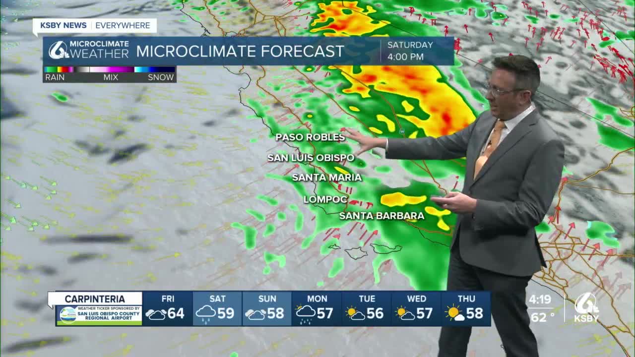


The Central Coast only saw a brief break in the rain over the last day or so, and now the next system is moving our direction.
Rain is likely Friday, later morning into the evening then picking up again Saturday.
Another system is likely Sunday into Monday and likely lingering into Tuesday.
Cumulatively, it looks like less than 3.5" of rain for most coastal areas and valleys. 2-5" is possible in the hills and mountains, especially those with S-SW faces.
There is a slight risk of thunderstorms with the Sunday-Monday storm.
Winds will be up, and so will the surf during this active weather run, surf advisories are already in place. Wind advisories are possible with each storm.
After the second storm, the system kicks out on Monday or early Tuesday most of next week looks quiet, maybe a shower or two Thursday as a very weak impulse moves thru.
The big news today was that recent rains have wiped out all of the exceptional drought in California and most of the extreme drought (only a small sliver in NorCal left). 100% of the state is still in drought but of the moderate and severe variety.
The assessment is based on data collected Tuesday and released Thursday so it is like the picture is even better than this assessment implies. With more rain on the way, it'll be interesting to see the movements in the next assessment next Thursday.
We've updated local lake levels often during the recent storms, but this is our regular Thursday update. Several at the top or over, and places like Cachuma continue to add water.
