


Good Morning Central Coast!
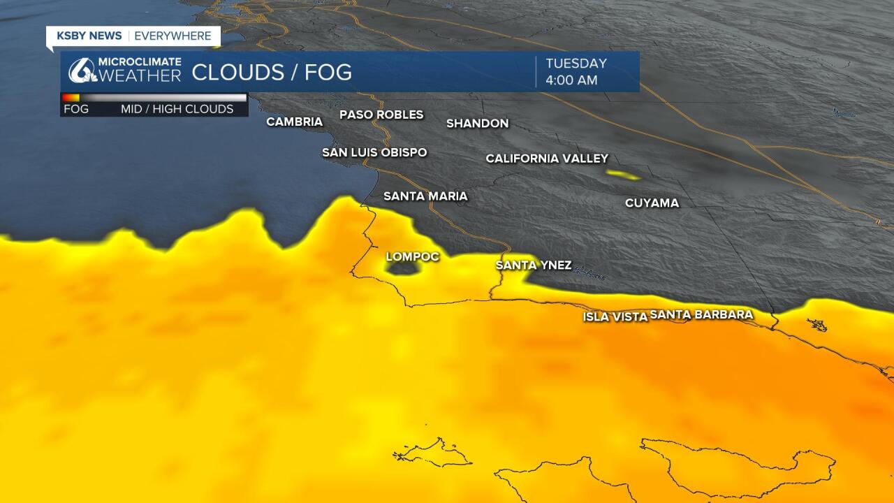
As we kick off our Tuesday the same eddy of winds is keeping the Santa Barbara County Southcoast fully entrenched in fog to start off the day. This will limit visibility across the coasts of Santa Barbara county with some fog also making its way into the Lompoc and San Ynez valleys.
As a heads up, the marine layer bringing in all this fog will get a tough thicker overnight into Wednesday. This will make the fog slightly more expansive to start off Wednesday.
Temperatures today will be nearly consistent with the past few days along the coast but inland it will be a different story. A bit more offshore flow and extra sunlight will see about five degrees of extra warming. This will push interior temperatures into the mid and upper 90s through some areas.
There is 41 degrees between our highs along our beaches and the highs in Paso Robles today. Triple digit heat is likely in North Eastern San Luis Obispo County with more mild conditions by the beaches. pic.twitter.com/KqxsM0l7Zd
— Vivian Rennie (@VivianRennieWx) May 24, 2022
With such warm conditions it will be important today to keep the heat in mind, be sure to drink lots of water and limit heat exposure.
Paso Robles even has a chance of breaking a high temperature record Tuesday.
Wednesday morning onshore flow will increase (bringing some gusty conditions) and will help to limit daytime heating and will bring many inland temperatures back into the upper 80s.
Thursday into Friday will bring morning fog and just above normal temperatures to the region. The weekend will bring some added northerly winds that will bring in some additional heating and lots of sunshine as we head into the weekend.
If Paso Robles reaches the 100 degree mark today it will break the record of 99 degrees set back in 2001. Thankfully cooler weather will move in Wednesday and stick around into the weekend. pic.twitter.com/f0T0Ih90ba
— Vivian Rennie (@VivianRennieWx) May 24, 2022
Have a great day Central Coast!
