


12:30PM Update:
The rain system is almost here! Here is a discussion on the forecast with Meteorologist Vivian Rennie.
Good Morning Central Coast!
To kick off November we have a big shift in the overall pattern that will not only bring us cooler weather but also rain chances today. This is very much good news for the region as we have had little to no measurable rain in most of our communities so far this rain season. Now this isn't particularly surprising as our 2022-2023 rain season only began on October 1st. That being said it has been a long dry stretch so rain is very much needed.
Rain chances will move in alongside a cold front that is draped across the region creating instability and pushing storms into the region.

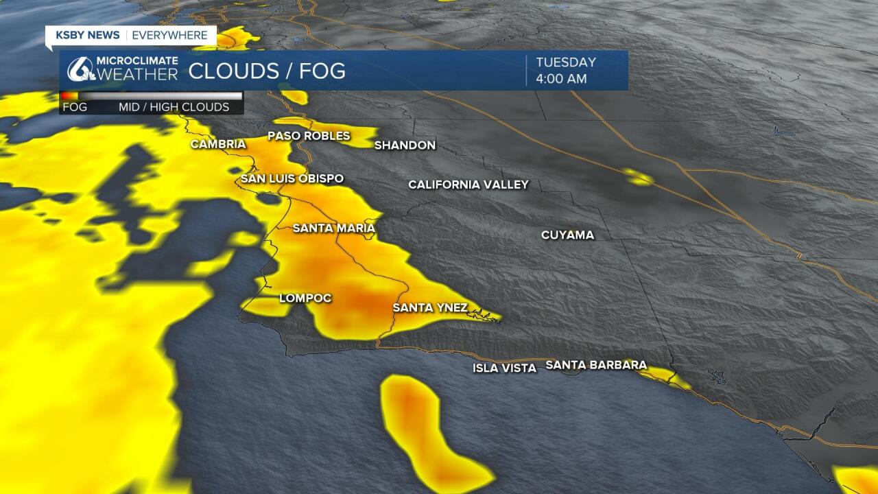
The rain chances will be preceded by a bit more marine influence for the morning hours. This will not be as big of a problem as it was yesterday but will absolutely be noticeable at the beaches and coastal valleys. Take it slow on the roads where visibility will be low during the morning commute.
Temps will also be significantly lower than this weekend across the region. The interior valleys will be in the mid to low 60s to kick off November, coastal valleys will be in the same ball park alongside the beaches. Wherever you are today, it is going to be a chilly one.

The cold front that is driving this whole change is moving south slowly and will reach SLO county by the early afternoon. Rain will last through the evening but will not amount to much. Some coastal communities could see up to 1/3 of an inch while along the south coast they will need to settle with just a few hundredths.
Once the main system moves through much more unstable air will be in place and primed for pop up storms for the rest of the week. These will be small scale but could bring more rain accumulations.
Grab that umbrella!
I think the storm will stick to the afternoon into the evening hours bringing light rain before drying up in the overnight hours.

We will be behind the front on Wednesday but the atmosphere will be "conditionally unstable" meaning a few stray showers are possible when daytime heating takes place. I think this will be isolated if it happens at all. Daytime highs Wednesday will only be in the 60s in the warmest spots and upper 50s for many. It'll also be getting windy in the afternoon. NW winds 10-20 with gusts to 25mph. Thursday will also be cool and breezy with partly cloudy skies with afternoon winds NW 10-20 with some occasional higher gusts.
The system is more interesting outside of our area. In the higher elevations in CA snow is likely. This is also a high wind event for areas to our east and south, anyone traveling should get a destination-specific forecast from or app or the search box here at KSBY.com
Have a fantastic day Central Coast!
