

A very cold and windy system is still in the area, though as expected it isn’t producing much rain. Some very low-elevation snow showers are possible but any accumulation would be very light.
The biggest short-term concern is the winds which in the high wind warning area of the Santa Barbara County Mountains and passes and canyons could even hit 75mph gusts. Observed gusts so far have already topped the 55mph range. Areas not covered by the high wind warning are in a wind advisory where observed wind gusts have hit 35 and 40mph. These advisories expire before midnight. Winds will start to turn offshore and the skies should clear. Considering the dryness of the air some very cold lows are likely. We should see the 20s in the interior valleys and near-freezing elsewhere. There is a frost advisory for coastal areas tonight and a freeze watch for tomorrow night because temps will be as cold if not colder. Sensitive plants can be damaged by this kind of cold and some of those interior lows could pop unprotected pipes. There is no advisory for the interior as freezing temps this time of year are somewhat common but this is particularly cold so some advisories should be considered by some.
There are some waves being whipped up by the winds and an advisory is in place for the west-facing Central Coast for 10+ foot waves though diminishing size is expected Wednesday.
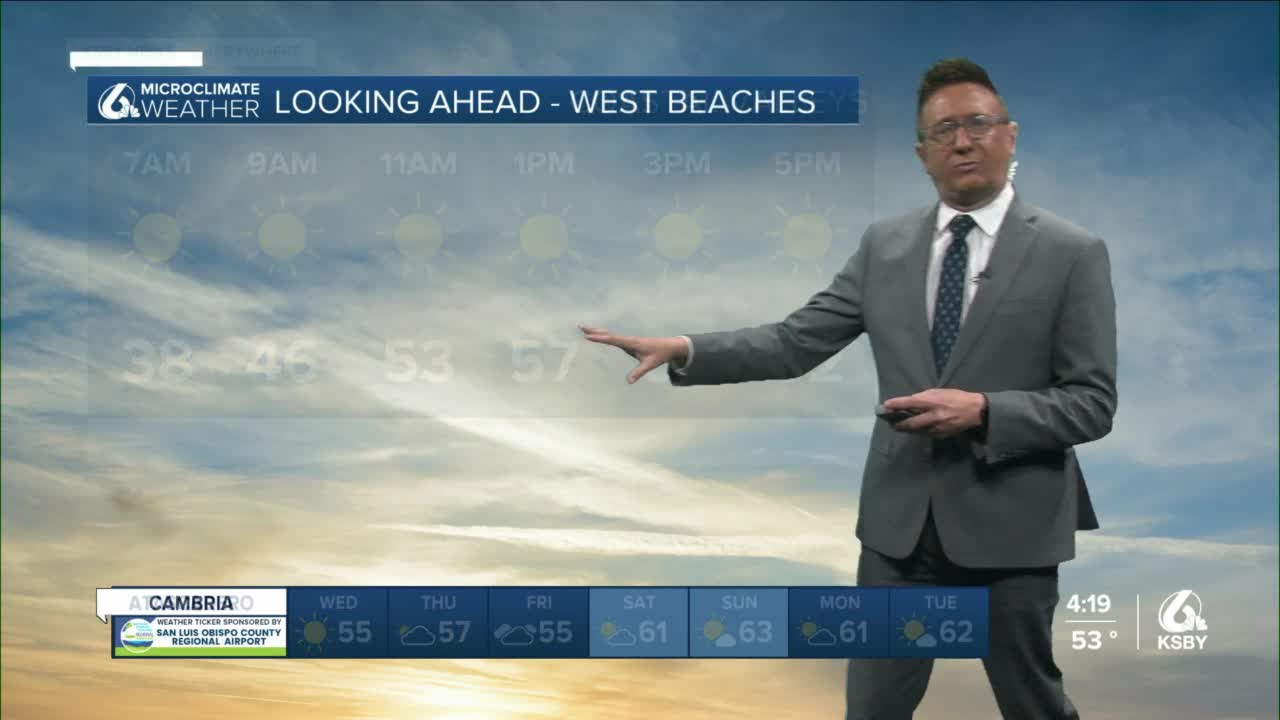
Outside of that, the temperature recovery is slow. There is another system Friday that could bring a few showers, but models got less excited about that opportunity today. I think it is still worth mentioning as the reason it is now less likely is only that the trajectory looks to be too far west, this wouldn’t have to change much to bring showers back into the forecast.
The longer-range outlooks predict more cool air than warm air.
