


Good Morning Central Coast! After a mild, albeit cloudy weekend for many temperatures will begin to climb again as we head into this week.
High pressure is set to build up each day and begin to limit marine layer clouds spreading into the interior valleys and eventually the coastal valleys too. To kick off the week though little change will be felt in the morning hours. There will still be a significant layer of cloud cover overspreading the region to start off the day. That cloud cover combined with some low level dense fog will make for a bit of a dim morning.
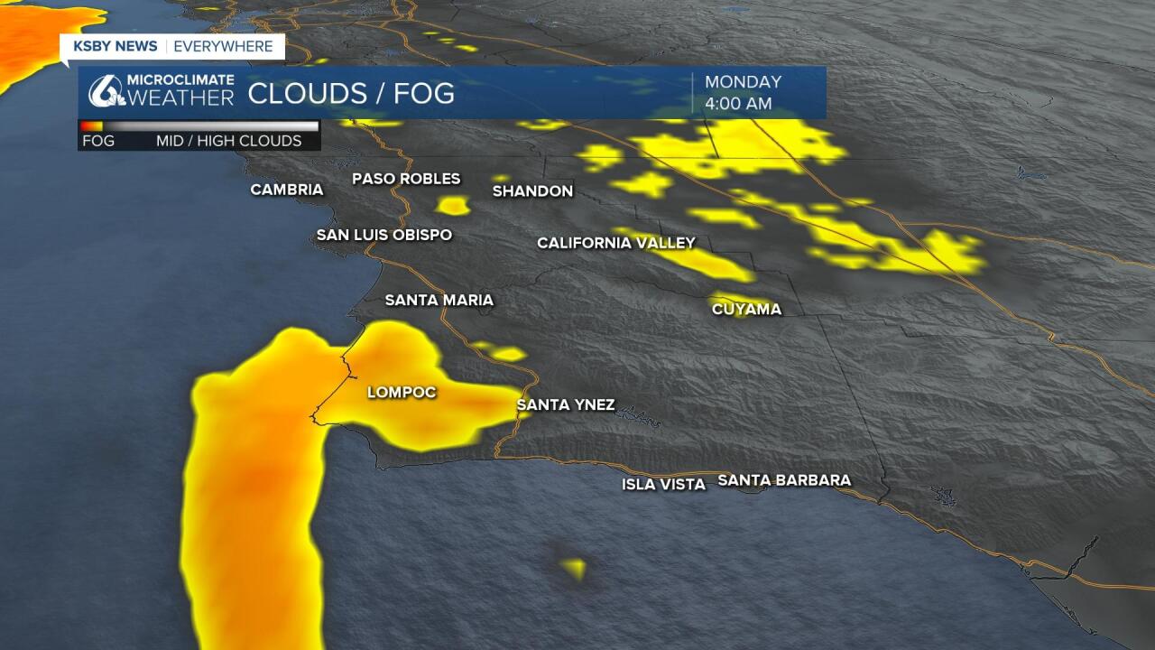
A few areas will see dense fog for the morning commute, take extra caution on those roadways this morning.
As we push into the daytime hours that cloud cover will begin to clear helping to bring up temperatures as well. A gradual heating trend is going to begin and last through the week.

As for the reaches and coastal valleys, don't expect clear skies just yet. That marine layer will still dominate through at least Tuesday and possibly even linger through Wednesday for some spots like Santa Maria.
The warming in response, will also be more subtle for the coast. The clouds will linger through mid week and even then the daytime highs will only reach the low 80's.
Wind is still an issue the next couple of nights for Santa Barbara county. Heightened wind speeds will hit the south coast Monday and Tuesday night but as of now it looks to be below advisory levels.
As for the extended period, weather patterns are pretty benign. Mild temperatures for the beaches and coastal valleys and lower 90's for the interiors. A low pressure system is building for next weekend but it is still too far out to get a decent read on what the impacts of that system will bring.
Have a great day Central Coast!
