


Good morning, Central Coast! Happy Friday!
We have almost made it to the weekend, here is a look at what to expect.
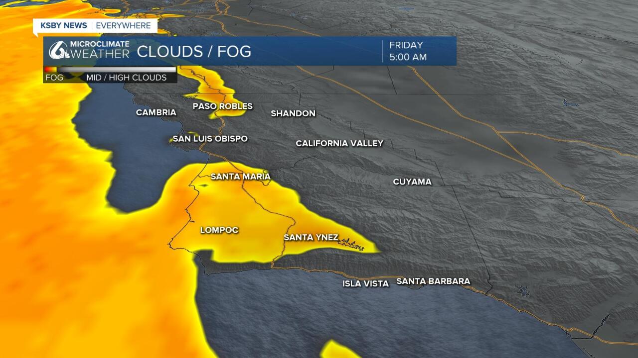
To start off the morning there is some patchy dense fog across the region, this will clear out quickly as soon as the sun rises.
Despite the clouds clearing out quickly some onshore winds will slow heating along our coastal valleys and beaches. Much of the marine layer will not make it into the interior valleys, so their heating will be more substantial.
Highs today will be significantly warmer than Thursday in the interiors, and only a few degrees warmer at the coasts. Interiors can expect some 80s while most of the beaches will be in the 60s, 70s in the coastal valleys.
Sunday the ridge of high pressure that is skyrocketing temperatures here on the Central Coast and across the West Coast will bring interior valley highs into the low 90s. Most of the coastal valleys will reach the 80s and even beaches will climb to 70.

Thankfully for us the heat up will be tampered by marine influence brought onshore with slight west winds from the high pressure sitting in the Pacific. For areas without that moderation (the Central Valley) triple digits are expected for the first time this year.
Not only will this dramatic heat up bring risks to many vulnerable populations as well as to pets it is important to keep snow in mind. Yes I said snow, much of the Sierras are still burred in the historic snows from this summer. Dramatic warming will speed up snow melt significantly. Widespread flooding is expected along many streams into the Central Valley and hydrologists are expecting the size and impact of Lake Tulare to swell.
Sunday and Monday onshore flow will pick up slightly and temper heating slightly. Widespread morning fog is expected along the coasts and highs will fall up to 5 degrees. It will not be too much of a change but still noticeable.
The cooldown is expected to only last a few days before the high pressure reestablishes itself. This will bring highs back up next week and keep them there into the extended forecast.
We are still looking at the possibility of some scattered to isolated rain and thunderstorms in the 8 to 14-day forecast as the ridge of high pressure will allow some instability to back in from the desert southwest. The climate prediction center is expecting that period to be warmer than average with above-average opportunities for precipitation across the southwest.
Have a wonderful Weekend Central Coast!
