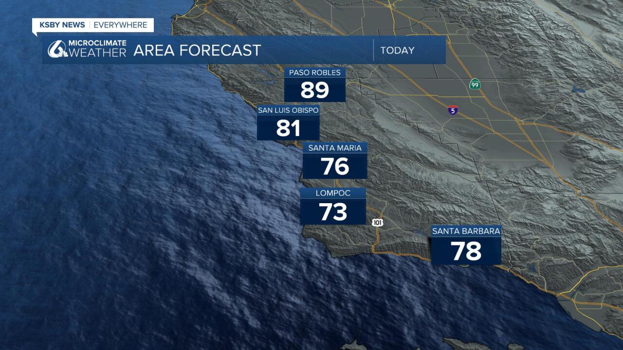
Good Morning Central Coast. To kick off our Tuesday there is still a little bit of dense fog sticking around some of western Santa Barbara county. Most of the rest of the region is clear at the surface with a few more mid-level clouds crossing San Luis Obispo County in the morning hours.

The thing that will be most noticeable today will be the warming. While weekend temps took a dip we are again warming. This time it is an interesting set-up with a mid/upper-level ridge over California with a low-pressure system off the coast. This will mean some offshore flow at the mid-levels and occasionally at the surface.
This should limit marine clouds to patchy development, but some high clouds can be expected much of the week.
Highs today will be on the warmer side with high 80s and low 90s in the interiors. 70s and low 80s in the coastal valleys and mid 60s at the coasts.

Wednesday looks like the warmest day of the forecast, easily reaching into the 90s in some interior valleys. Thursday will bring the chance for a few degrees of cooling but even that will be minimal.
To close out the week the large dip in the jet stream that originally brought us warmer temperature will continue to be compressed by a cold front and temperatures will drop quickly with the addition of northerly winds.
Saturday, Sunday and into next week will feature much cooler and breezier conditions. Highs in the interior valleys will struggle to reach out of the mid 70s. This will be a big shift from the 90s over the next few days.
In terms of rain for this storm there isn't much good news. The system, while noticeable will likely be dry and not bring any significant rain to our region. That being said their are rain chances to our North and to our South, if the system changes trajectory, even a little bit we could start to see some rain chances in the forecast.
Have a great day Central Coast!


