


As we inch our way to the weekend, a weather pattern shift will also come along.
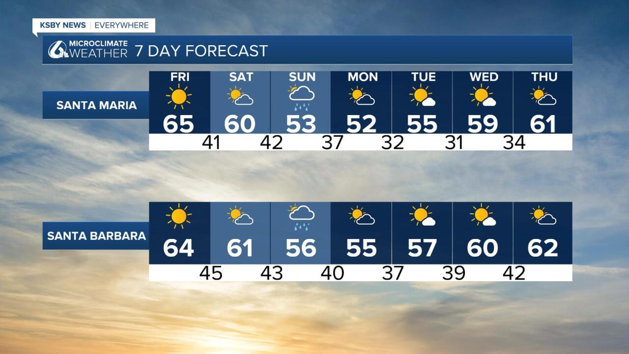
A high-pressure ridge has kept us nice and dry in our region but that will change as low pressure will surge south and bring clouds, and eventually rain onto the Central Coast. This will begin Sunday and last into early Monday morning. Most models suggest a 20% chance of showers but they clear out by Monday afternoon.
It won’t be a huge rain system like we saw at the start of the month. Some models show up to a tenth of an inch of rain is possible, a quarter inch on the high side but some folks may see no rain at all as models are trending with a slightly faster system.

Tonight will bring more chilly temps low to mid-30s for some inland areas. Daytime highs for Friday won't bring many 70s to our area. Most will stay in those mid to upper 60s.

After the splash and dash system Sunday into early Monday the rest of the work week looks dry, but some models are suggesting more rain around next weekend.
