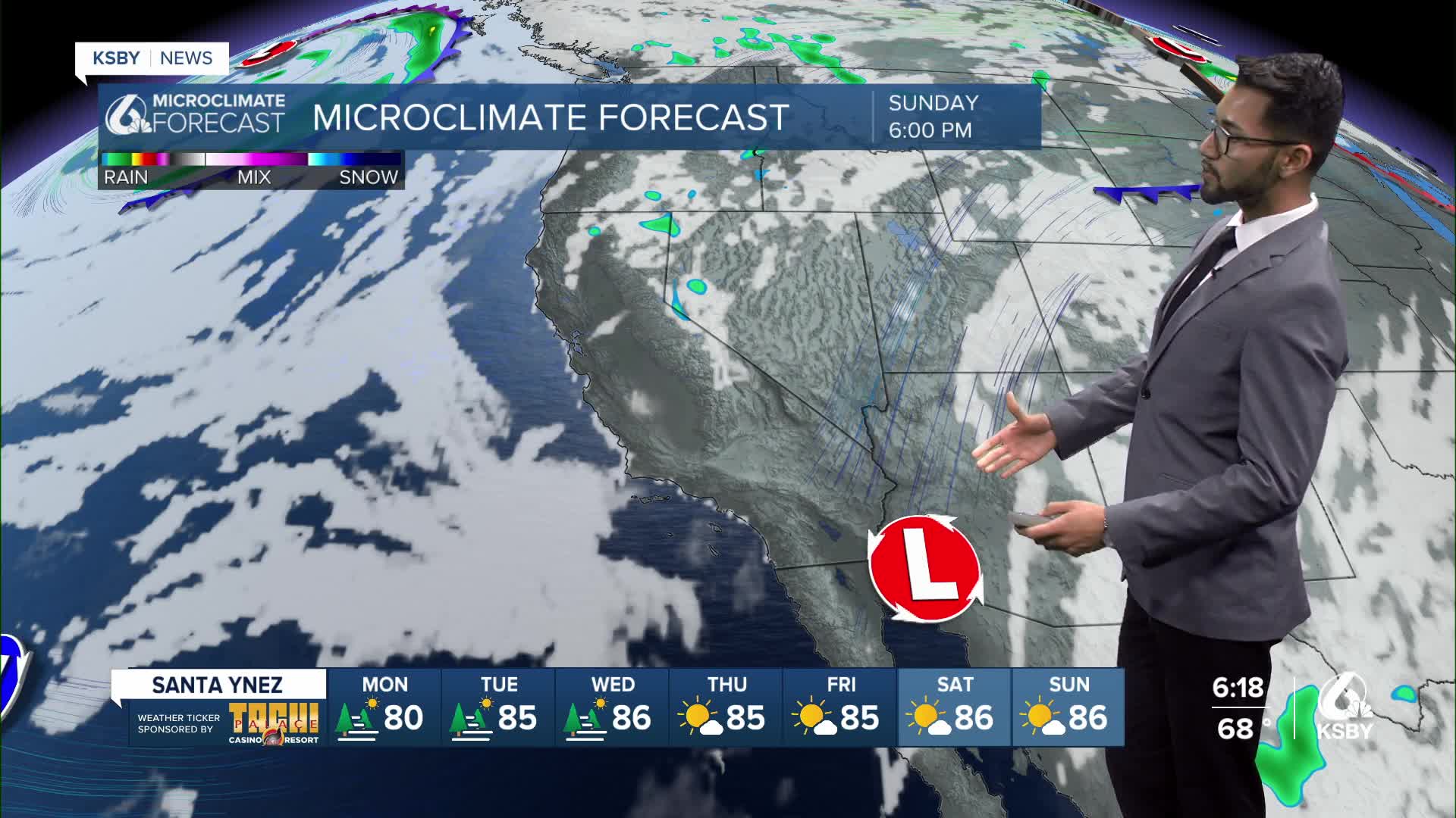


Happy Sunday, Central Coast! The warming trend has arrived and will impact communities further inland, especially in our interior valleys.
The warming trend was caused by high pressure, which is slowly building in from the east for the next few days.
As a result, the marine layer is expected to be lower, allowing for about 3 degrees of warming each day through the middle of the week.
However, high temperatures in most areas will remain below normal, with some of our interior valleys reaching into the 90s.
An upper-level trough positioned along the West Coast will keep the onshore flow pattern in place through Tuesday.
Onshore flow will continue to push low clouds and fog into some of the coastal valleys, with clearing times trending earlier in the morning.
Temperatures will remain below normal closer to the coast as the marine layer and onshore flow will prevent any significant warming.
Aside from the usual afternoon breezy winds across the interior and some sundowner winds developing across southwest Santa Barbara County Wednesday evening, winds are expected to remain relatively light.
Have a wonderful workweek, Central Coast!
-Eddie
