

Good morning, Central Coast!
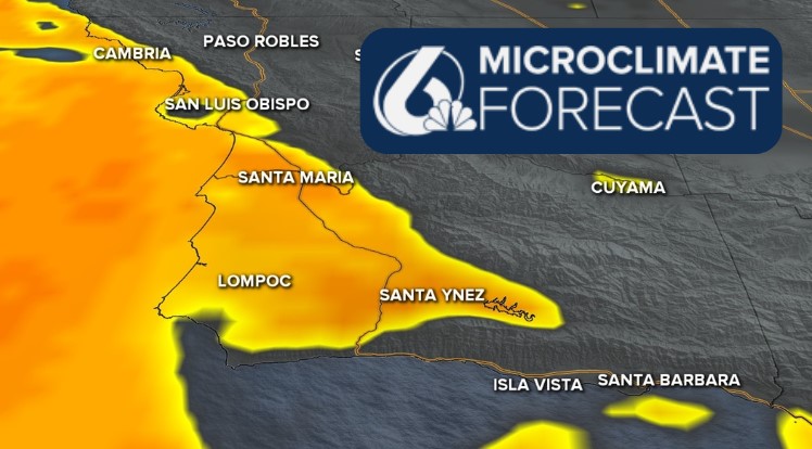
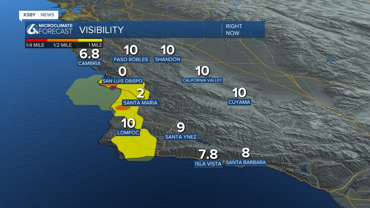
As we kick off our Tuesday morning, most of our coastal valleys are facing cloud cover and some dense fog. This will not be too much of a concern, but may still limit visibility for some spots on the morning commute.
The fog and cloud cover is bringing in the cool, dense marine air to many communities and will keep them on the cooler side. Because that air is limited to the lowest levels of the atmosphere, it is not going to extend into the interior valleys... long story short, it is going to be a hot one today for the interior valleys.

Temps for the interiors will climb into the upper 90s (that will mark the first day above normal in weeks), coasts will be a little cooler, highs in the upper 70s with beaches staying in the 60s.

Today will stay mild, but this evening winds will shift and become a concern along the south coast. This has prompted a wind advisory for the Gaviota Coastline through 3 a.m. Wednesday morning.

Into the rest of the week, temps may fall a degree or two, but on the whole will stay near normal.


Have a great day, Central Coast!
