


Good morning, Central Coast!
We have been talking about the big warm-up all week and it is finally here!
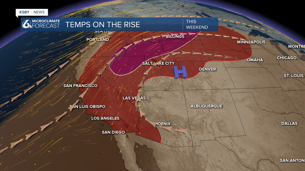
Two large high-pressure systems (one to our NE and one to our NW) are driving the warmer conditions. High aloft onshore winds are bringing a warmer airmass from the south. In the lower atmospheric levels though some offshore winds will keep the marine layer at bay and aid in warming with some compressional heating.
Long story short this pattern will warm us up quickly today.
That being said there is some dense fog in place for western beaches, coastal valleys, and our south coast to start the morning. That fog has prompted a dense fog advisory for the areas shaded below in the light gray. That will expire at 9 a.m. Friday morning.

The fog will clear quickly and the warming will kick in. High temps today will be nearly triple digits for Paso Robles, upper 80s for the coastal valleys, and 60s for most beaches.

A high heat advisory has been issued for the southern Salinas River Valley (Paso area) as well as the ridges just north of Santa Barbara through Saturday night.

Saturday will once again feature high heat with interiors in the upper 90s. By Sunday night, though the ridge of high pressure will begin to push east. Offshore winds will calm and marine influence will return. That will cool temps and bring back fog for Mother's Day and even more so into the extended forecast.


Have a wonderful day, and a great weekend ahead, Central Coast!
