Good morning Central Coast and happy Tuesday!
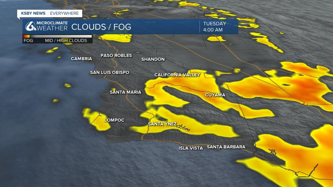
To kick off the morning there are some pockets of dense fog across parts of our area. This isn't as widespread as previous days but still may be an impact to some.

The big story for our weather today is the trough of low pressure that has been pressing south from the PacNW over the past few days. To our north the system brought a brief shower Tuesday morning to the Bay area but for us a few clouds will be all.

The cold front associated with the trough is bringing cooler air to the region as well as increase the winds. Winds will be the most impactful to passes peaks and canyons in Santa Barbara county.
There are advisories in place due to that risk across Santa Barbara county until 9AM Wednesday morning.

Temps will be cooler once again today with most locations dropping another 5-10 degrees today. Beach and coastal valley highs will be in the 50s and lower 60s while interior highs drop into the low to mid-60s. The Southcoast looks warmest on Tuesday with highs potentially hitting 70.
The area starts to turn the corner a little on Wednesday as the trough begins to lift out. Highs in the upper 60s and low 70s return to the coastal valleys and the Southcoast warms into the lower 70s. Interior valley conditions will be slow to rebound on Wednesday with more morning cloud cover possible.
More significant warming takes place and Thursday and Friday and temps likely peak on Saturday when the large ridge over The West peaks. This will bring widespread temps in the 80s Friday and Saturday.
While this transition to warmer weather happens with the building ridge, winds will really get to cranking. North to NE winds are likely in the night and morning hours Wednesday thru Saturday and at times those gusts could exceed 30 or 40mph. Keep an eye out for advisories during that time.
Next week there will be a slight turn back to cooler temps. This will only drop temps slightly but the 80s this weekend will likely last only into Sunday.
Have a great day Central Coast!


