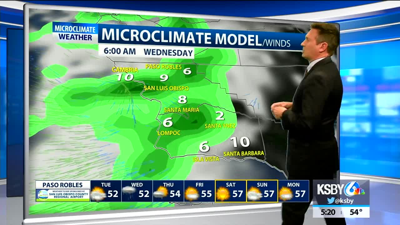


An area of low pressure has been producing continuing showers across Santa Barbara county much of Monday. That system will exit tonight but there is not much of a break betweem storm systems. Wednesday rain returns, essentially in two clumps: some early rainfall in the overnight and early morning and again in the evening lasting into Thursday.
Highs will stay in the 50s for most on Tuesday. Winds not a big factor until later Wednesday when the SE winds pick up to 15-25mph. Snow levels will drop from the current level around 5000ft to about 2500 on early Thursday morning. The higher peaks of the Central and Southcoast could get some snow, but not a risk to valley floor locations with the possible exception of the Cuyama valley.
Offshore NE winds develop quickly Thursday clearing skies for Friday and beyond but it will also produce cold overnight lows.
There is a slight chance of showers Sunday but otherwise generally dry after this round of activity until we get to 2020.
