

Some showers have already resumed after a brief break. While some spotty activity is possible into Tuesday the next concentrated round of rain should start later Tuesday night into Wednesday morning and diminish Wednesday afternoon. The range for this round locally looks like .50-1.5", local amounts could be higher at higher elevations.
This is still related to an Atmospheric River which is focused a little further to our north where the Big Sur area could get hammered again with another 2-4" of rain (since early last week Big Sur has seen about 9" of rain).
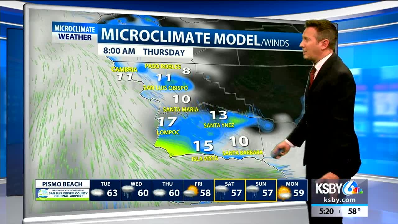
The subtropical nature of this air has raised snow levels very high, to about 7,000 feet so local winter conditions are not likely. Winds from the SE at 15-30mph for the Wednesday morning rain could introduce some additional challenges.
We will finally dry out a bit Thursday, but then we have to watch for another possible round of atmospheric river rains. This could start as early as Friday and looks to linger into Saturday at least, possibly Sunday. This could bring another .5-1.5" of rain. After that some dry weather looks to develop early next week.
