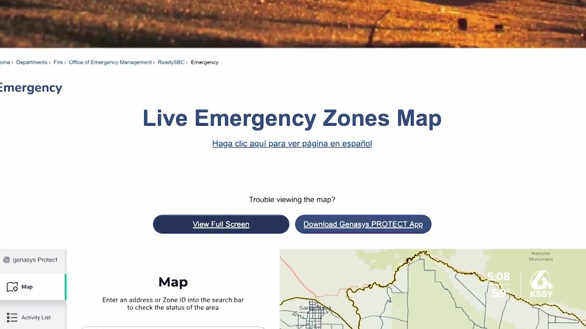


Santa Barbara County has launched a new interactive Hazard Awareness Map designed to help residents identify potential natural disaster risks in their neighborhoods.
The online tool highlights hazards across the region, including wildfires, flooding and tsunamis. Residents can enter their home address to see specific risks tied to their location.
County officials say understanding those risks is a key step in preparing for emergencies.
“The best way for people to prepare for an emergency is to understand the risks,” said Yaneris Muñiz, Emergency Manager for the Santa Barbara County Office of Emergency Management. “Many people might not know if they live in a high fire zone or on a flood plain. You need to understand your risks to make informed home improvements and build better-prepared emergency kits and plans.”
For many residents and business owners, disaster preparedness is already a part of daily life.
Leigh Sparks, owner of Linden Studios in Carpinteria, said safety is always top of mind. She has owned the art gallery for more than a decade and has experienced multiple evacuations due to wildfires.
“Tsunamis, we’re kind of in a jelly zone, so it’s not something that’s too crucial for us. But fires? Yes,” Sparks said. “We’ve had to evacuate twice. We even had to sleep here.”
As a small business owner along the coast, Sparks said preparation is essential.
“Have contacts with your friends, make sure you have water, and gather your valuables, your documents and such,” she said.
Residents say the new mapping tool provides valuable information that can help families stay safe.
“I think knowledge is power, and it’s important for people to be informed about the hazards in their areas,” said Santa Barbara resident Lee Wilkerson.
County officials encourage residents to review the map and use the information to create emergency plans, assemble disaster supply kits and make safety improvements to their homes and businesses.
