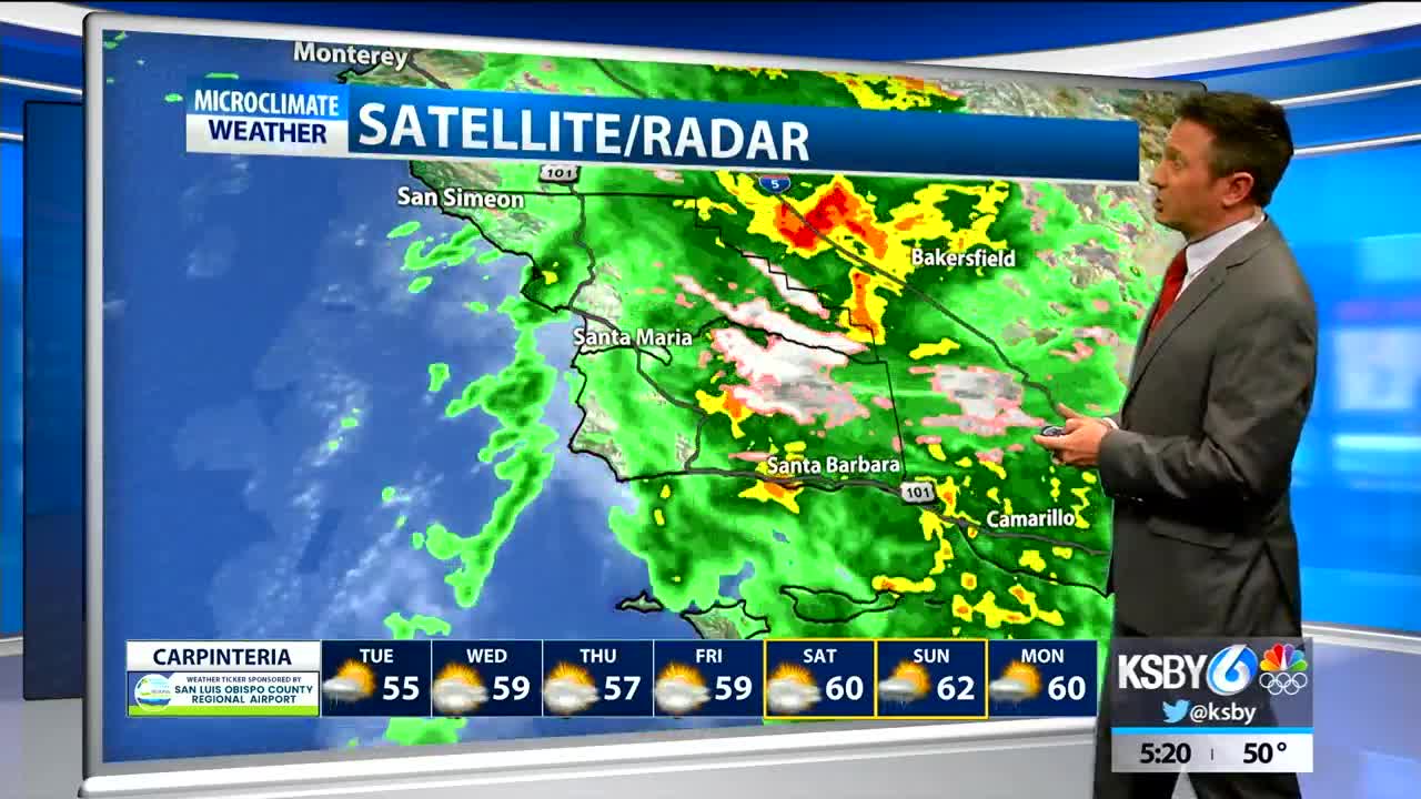
There is a low pressure system spinning just west of San Francisco. This low will continue to produce showers in the forecast thru Tuesday but the main band with the system has already pushed into the Central Valley and So Cal with scattered showers with more gaps than rainfall over the Central Coast.
An interesting element of the forecast is snow in higher elevations of SB county. There is winter storm warning in place until 9pm tonight. There are already reports of snow at lower levels, like near New Cuyama. At higher elevations up to a foot of snow could fall.
The low will elongate and pinch off into two low systems by late Tuesday. One low will drop south and off of southern California on Tuesday then push into Arizona. The other low will wobble around Lake Tahoe through Thursday or Friday. As the first low drops south, we should see another organized band of showers form off the Central Coast later tonight into Tuesday, with scattered showers elsewhere. Snow levels will fall into the 3000 to 4000 foot range tonight and stay that way on Tuesday.
I think Wednesday-Saturday looks like a break before another round of rain develops Sunday into Wednesday of next week. That time frame could see another 1-3" of rain. The pattern looks to stay generally active after that as well.


