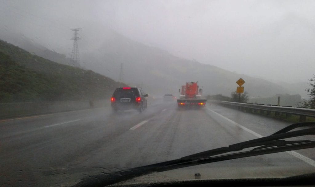
Continuing on and off light rain will decrease overnight. There are no local advisories with this storm as rainfall is generally light though a few places did get to .5-1.5″ but generally the lower end of the range of light to .20″ is much more common.

Outside of a few early showers Thursday the bulk of the day will be dry and so will all the daylight hours Friday but Friday night into Sunday rain returns. That system has .50-1.5″ potential with perhaps a few places on the SLO county north coast getting 2″. Light this event there will be an active phase overnight Friday into Saturday with lingering showers into Sunday. At this point it doesn’t look like burn areas will be threatened with any flooding or debris flows. This is another atmospheric river system so snow levels locally will be sky high and not a winter weather problem.
I actually think Sunday we are only looking at isolated showers, less than .10″ if they happen at all. Monday looks quiet but later Tuesday-Wednesday rain looks likely from yet another atmospheric river event. At this point models don’t agree on severity but it is possible this could be the heaviest of the three storms and bears watching. Right now I like 1-2+” potential. Ensemble models (a combination of models) like moderate to heavy potential.


