


Happy Sunday, Central Coast!
The shift in the weather patterns will occur during our transition into the upcoming work and school week, as a warming trend is expected.
The trough of low pressure that has been sitting over the state is weakening, and an upper-level ridge of high pressure will begin to build into southern California on Sunday and Monday.
A strong onshore flow and a deep marine layer are still expected to persist for the next couple of days, with some areas experiencing dense fog.
Daytime highs on Monday will be in the 60s and 70s for the coast, 70s and 80s for the coastal valleys, and 80s and 90s in the interior.
Sundowner winds are expected to occur near Gaviota and Refugio, likely peaking on Monday and Tuesday night. As a result, a Wind Advisory has been issued for Santa Barbara County until 6 a.m., Monday, August 18, 2025.

The main story this week (besides the Gifford Fire) is the significant heatwave that will be approaching the Central Coast by midweek
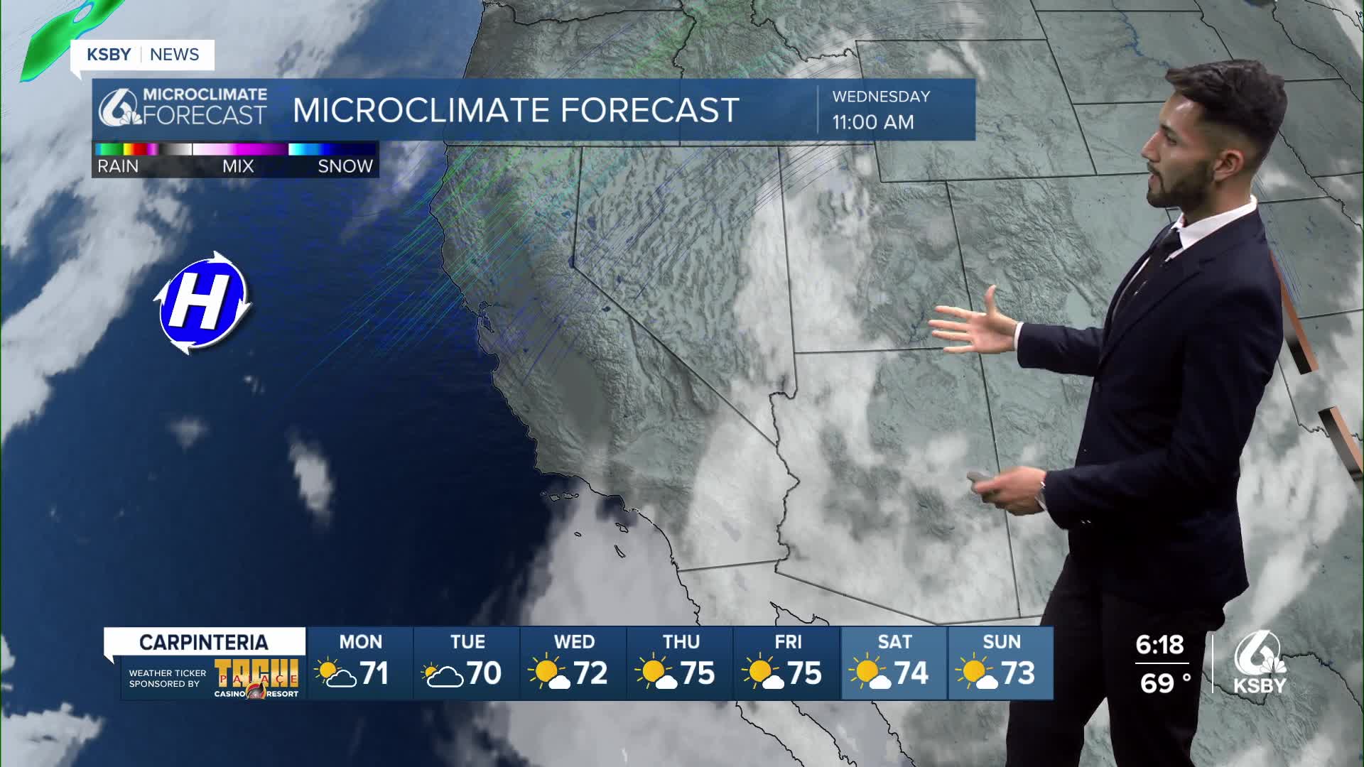
By Wednesday, a high-pressure system is expected to settle into the Four Corners region.
The warm air mass will cause high temperatures on Wednesday to reach the 80s and 90s in many locations, with readings up to 100-105 degrees over some of the interior valleys.
Thursday and Friday will be the hottest days of the week.
Have a great day, Central Coast!
-Eddie
