


Good Morning Central Coast! We made it to Friday and after a week of sunshine and warm afternoons the pattern is about to change. Cooler temps and rain is in our forecast over the next few days.
The high-pressure ridge that was in place near the PacNW has kept us nice and dry in our region but that will change as low pressure will surge south and bring clouds, and eventually rain onto the Central Coast.
This will first be noticed in the form of a few high clouds and overnight fog Friday night late into Saturday. More clouds will continue Saturday morning but there will some sunshine but by Sunday a cold front will surge south into the region and bring us the chance for some scattered showers Sunday night into very early Monday Morning.
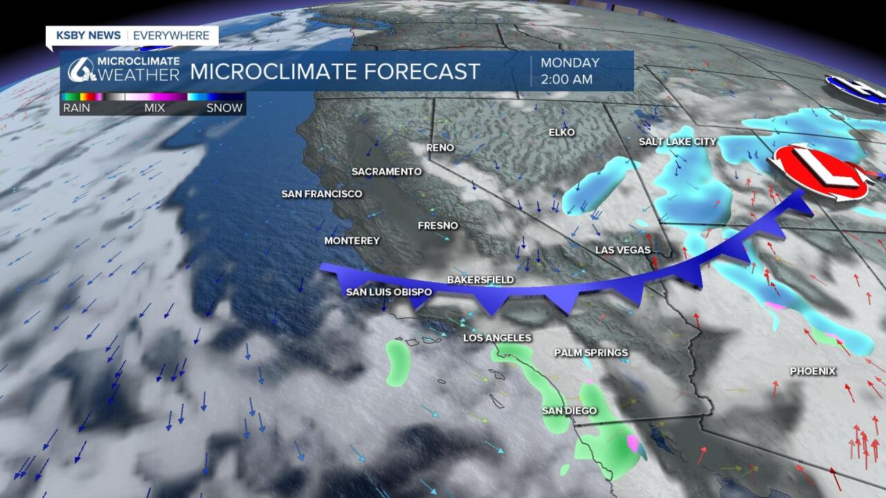
It won’t be a huge rain system like we saw at the start of the month. Some models show up to a tenth of an inch of rain is possible, a quarter inch on the high side but some folks may see no rain at all as models are trending with a slightly faster system.

Daytime highs for Friday won't bring many 70s to our area. Most will stay in those mid to upper 60s.

After the splash and dash system Sunday into early Monday the rest of the work week looks dry, but some models are suggesting more rain around next weekend.
Have a great day and wonderful weekend Central Coast!
