


Happy Friday, Central Coast!
The cooling trend we’ve been forecasting is expected to continue through Saturday as a trough of low pressure is currently sitting over the state.

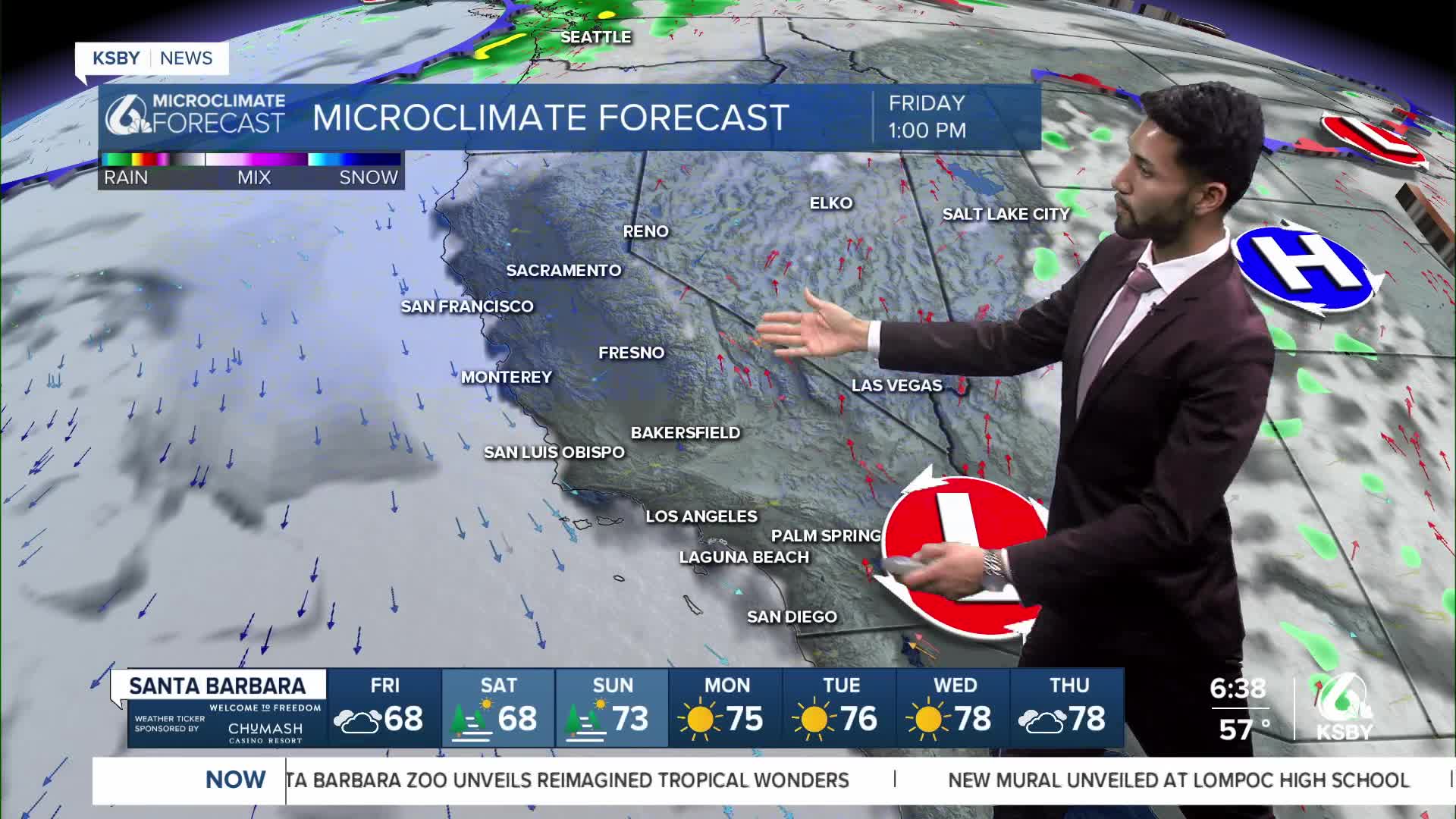
Friday will be another cool and cloudy morning as the marine layer clouds are spread across the beaches, coastal valleys, and some interior areas in northern San Luis Obispo County.
The marine layer is about 2,300 feet deep, and it’s producing marine layer drizzle.

But it will be quite slow for low clouds to clear near the coast due to onshore flow.
Strong onshore flow and a deep marine layer will create a cooler-than-normal day.
On Friday, there will be moderate to strong onshore flow to the east and weak to moderate onshore flow to the north.
Most daytime highs on the Central Coast will be about 5 degrees below normal on Friday.
Saturday’s forecast will be quite similar to today's, as there will be another round of low clouds in the morning with slow clearing.
Daytime highs tomorrow will be similar to today's, with a few degrees of warming across the Central Coast, as the onshore push will be a little weaker.
On Sunday, a warming trend will begin as the trough of low pressure shifts westward, driven by a high system over Texas expanding to the west. Despite any warming, high temperatures will remain well below normal.
Have a great weekend, Central Coast!
-Eddie
Fire forecast:
According to CAL FIRE, as of Friday morning, the Gifford Fire has burned over 132,000 acres, and containment rose to 61%. For the latest updates on the Gifford Fire, click here.
On Friday morning, we're expecting to see a light presence of smoke impacting communities in both San Luis Obispo and Santa Barbara counties. However, as onshore increases this afternoon, the smoke will mainly be present east of the Central Coast and along the south coast.
