


Happy Sunday, Central Coast!
The Gifford Fire continues to grow, with areas of smoke most present across Santa Barbara and southern San Luis Obispo counties.
For the latest updates on the Gifford Fire from CAL FIRE, click here.
UPDATE: New evacuation orders, warnings issued for Gifford Fire Sunday afternoon

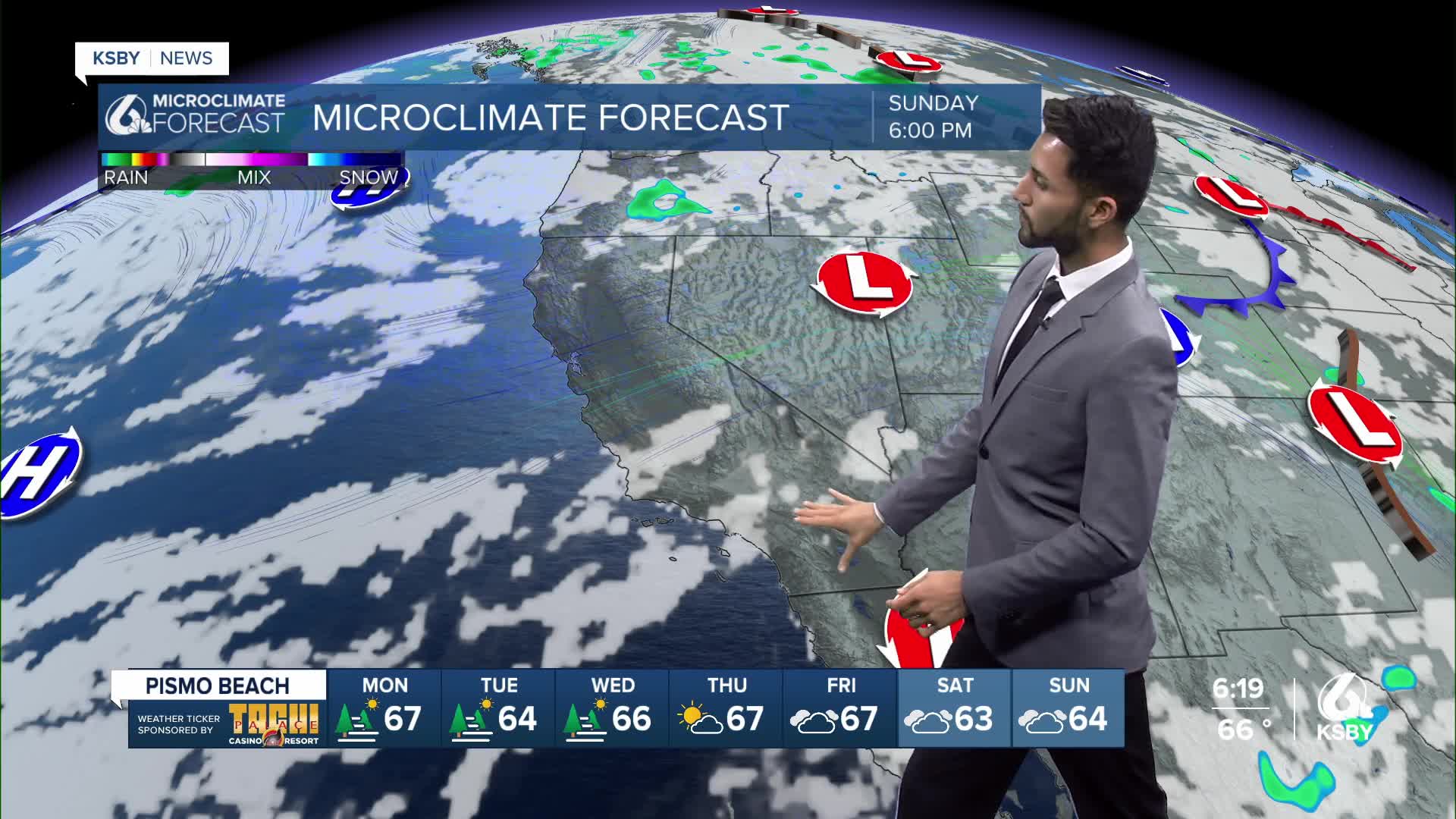
The main story in the forecast for the remainder of the weekend is the gusty northwest to north winds.
Strengthening sundowner winds are expected across southern Santa Barbara County Sunday afternoon and evening, where a wind advisory is in effect.

The strongest winds will be focused from Gaviota to the San Marcos Pass, with gusts in the 35- to 50-mph range.
However, late Sunday evening and overnight, some northerly winds will shift into the eastern Santa Ynez range with gusts in the 25 to 40 mph range.

These sundowner winds will be accompanied by warm temperatures and moderately low humidities, causing elevated fire weather conditions.
A second focus area of gusty northwest to northeast winds through tonight will be the interior mountains of Santa Barbara and Ventura counties, with gusts between 20-35 mph.
With a fairly low and strong marine layer inversion in place, there is potential for patchy dense fog across coastal areas on Sunday night.
Much cooler temperatures are expected on Monday, closer to the coast due to the persistent onshore flow and marine layer influence.
A significant warming trend will begin Wednesday as an upper-level high-pressure system strengthens and moves westward. At this time, it looks like Thursday and Friday will likely be the hottest days.
-Eddie
