


Happy Sunday, Central Coast!
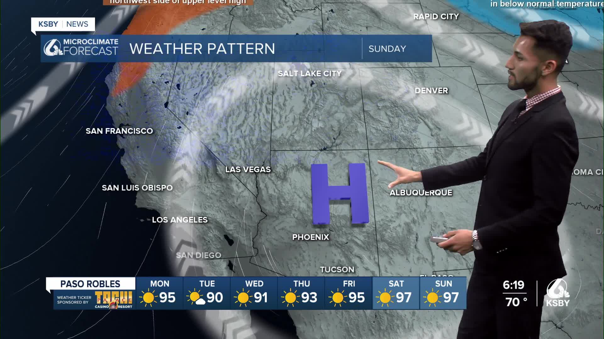
A shift in the weather pattern is expected Sunday into Monday as an upper-level trough of low pressure begins to move over California, and the high-pressure system over the Four Corners region will start shifting east.

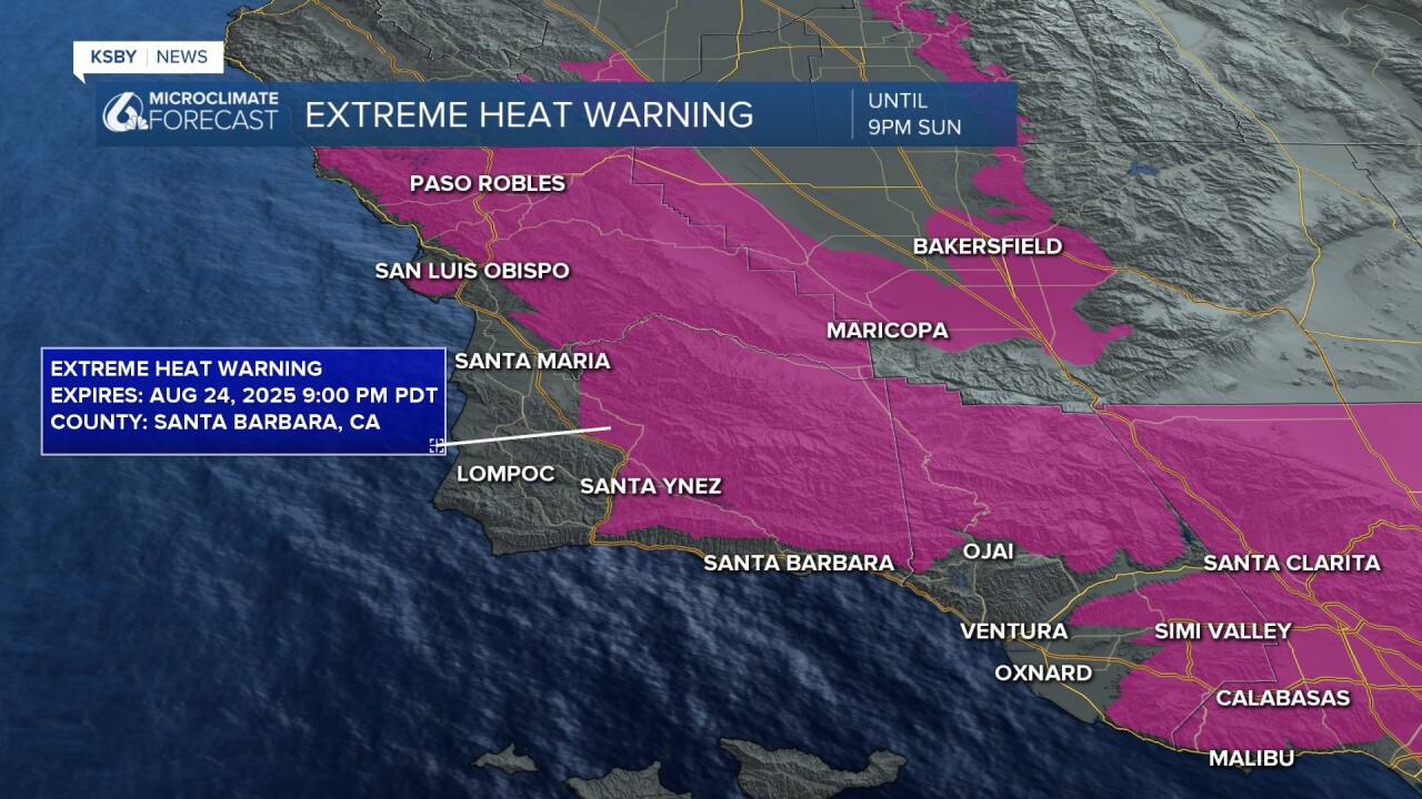
An Extreme Heat Warning remains in place for both San Luis Obispo and Santa Barbara counties until 9 p.m. Sunday, August 24, 2025.
The upper-level trough of low pressure will create a cooling trend for the rest of the week, but daytime highs will still be warmer in the interior.
Winds are expected to trend onshore, helping cool many communities on the Central Coast for the start of the work and school week.


Low clouds and fog have returned to the Central Coast, and we expect similar conditions for coastal areas south of Point Conception over the next few days.
By Tuesday and Wednesday, most areas will be at or slightly below normal temperatures.


Have a great week, Central Coast!
-Eddie
