


Hey, Central Coast! It’s going to be another cool start, as low clouds have spread across our beaches, coastal valleys, and some interior communities, bringing marine drizzle.
The cooling trend will continue today as a trough of low pressure moves over California.
Onshore flow and a weak eddy were the reasons why low clouds were pushed into our communities.
However, the visibility for some communities this morning was quite low.


Clearing will be similar to Wednesday's forecast, with many beaches remaining cloudy into the early afternoon.
On Thursday, daytime highs in the interior will reach the 80s and 90s, our coastal valleys will be in the 60s and 70s, and the beach communities will be in the 50s, 60s, and 70s.
Another round of sundowner winds will develop again this evening and last through dawn across the western portion of Santa Barbara County. As a result, a Wind Advisory has been issued for Santa Barbara County until 5 a.m. Friday, August 15, 2025.

There will be night through morning, low clouds and fog across the coasts and many valleys from now through this weekend. Most areas will cool down by 2 to 4 degrees on Friday.
The cooling trend will continue through Saturday, and temperatures will be 5 to 10 degrees below normal.
A warming trend is expected to begin on Sunday.


-Eddie
Fire Forecast:
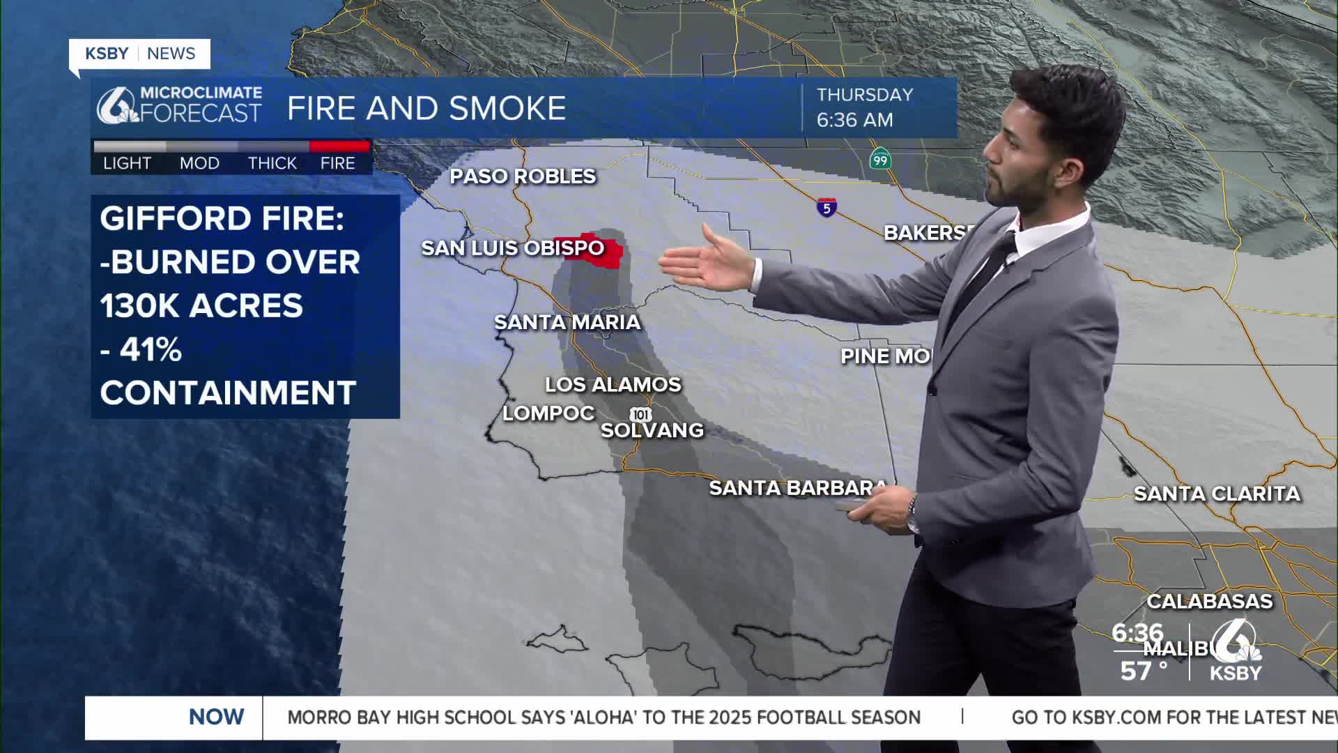
As of Thursday morning, the Gifford Fire has burned over 130,000 acres, and containment is at 41%, according to CAL FIRE. For the latest details on the fire, click here.
A light presence of smoke is expected across Santa Barbara County, and it will be present in areas east of the Central Coast. However, by the late afternoon into the evening, we're expecting to see extremely dense levels of smoke in California Valley and Cuyama.


