


Happy Friday, Central Coast!
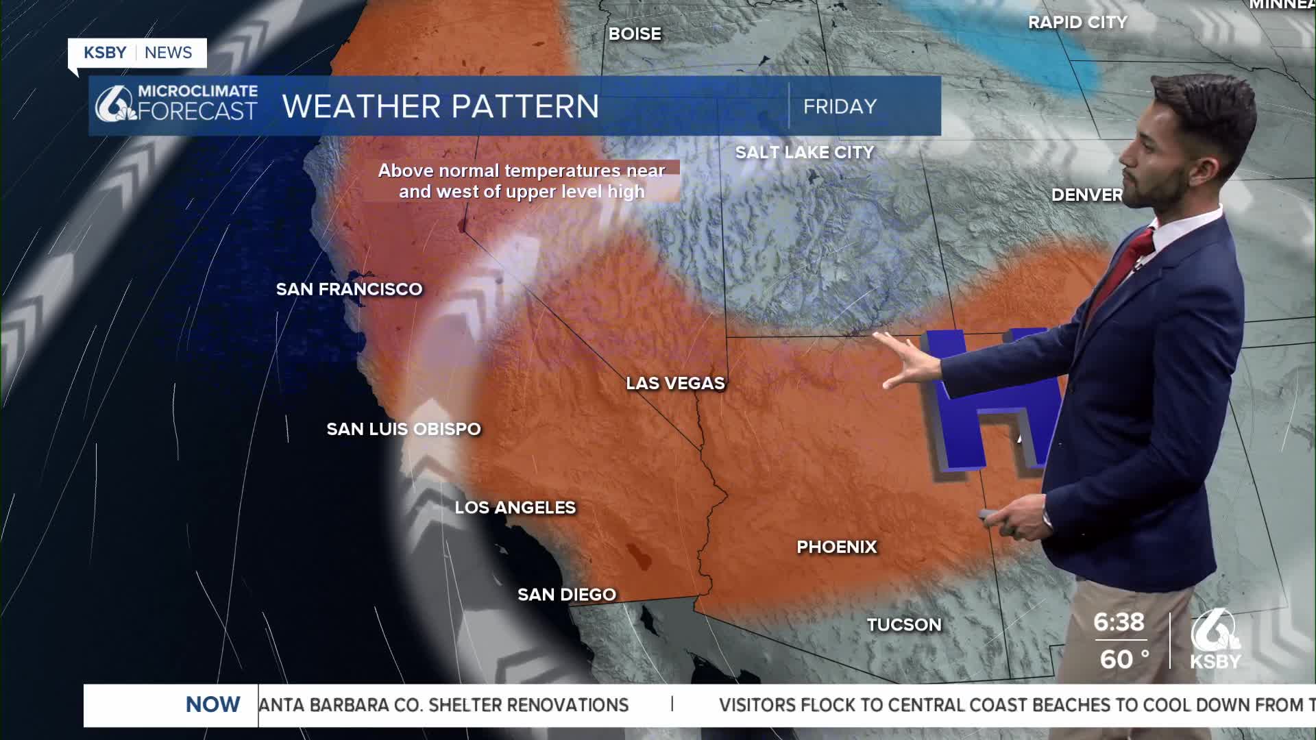
This morning, the latest satellite imagery shows an upper-level ridge of high pressure still centered over the Four Corners Region.

The southeast clockwise flow around the ridge center is pushing some middle and high-level moisture into California.


As winds are trending offshore, most areas will see mostly sunny to partly cloudy skies this morning.
A very warm to dangerously hot weather pattern continues on Friday. Triple-digit temps are expected for some of our interior valleys.


The southeast flow around the ridge of high pressure is starting to increase humidity and cloud cover as we head into the weekend.
There will be a slight uptick in onshore winds that could bring a couple of degrees of cooling to the coast.
Monsoonal moisture will start to increase this weekend across California, and there is a chance of afternoon and evening showers and thunderstorms, especially across the mountains and desert. The clouds from the monsoonal moisture will be moving into the Central Coast, but the Cuyama Valley may see a chance of slight precipitation.
Increasing onshore flow will allow the cooling trend to begin on Monday as an upper-level trough moves along the West Coast.


-Eddie
