

UPDATE 8:48 PM
Santa Barbara county is also experiencing heavy rainfall. Expect that to continue overnight. A flood advisory has been issues and is in place until 3:00 AM
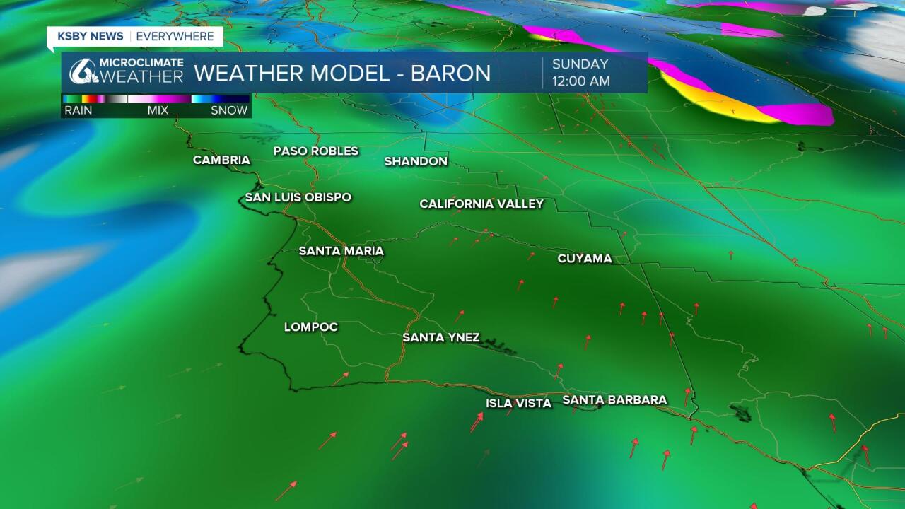
UPDATE AT 8:11 PM
Rocky Butte has seen 6.94 inches of rainfall in the past 24 hours!
San Simeon: 1.24
Cambria 1.17
Cal Poly 1.69
UPDATE AT 7:30 PM
A flood advisory is in place until midnight for San Luis Obispo County. Rainfall rates between 0.25 and 0.50 inches per hour will be common, with local rates of 0.50 to 1.00 inch per hour across foothill and coastal slopes locations. Some spots that could experience flooding include San Luis Obispo, Paso Robles, Morro Bay, Pismo Beach, Atascadero, Arroyo Grande, Nipomo, Cambria, Santa Margarita, Templeton and Oceano.
Good evening Central Coast!
The storm system we have been bracing for has hit the Central Coast in full force this afternoon, but the north western portions of SLO county have been hit the most significantly. Rocky Butte has already received 3.71 inches of rain in the last 18 hours, while other nearby areas have had about 0.75 to 2.00 inches.
In addition, increasingly strong southerly winds can be expected to continue over SLO/SBA Counties. High Wind Warnings are in effect over interior SLO County including the SLO County mountains and over the interior SBA County mountains until 6 AM PST Sunday.
South to southwest winds 30 to 40 mph with damaging gusts up to 65 mph expected.
There are also wind advisories in effect for the remainder of SLO/SBA Counties. South to southeast winds 15 to 30 mph with gusts up to 45 mph expected, until 6 AM PST Sunday.
For the higher elevations there is a winter storm warning in effect. This includes the Santa Barbara county interior mountains which will see moderate to heavy snow expected along with gusty winds.
Snow accumulations of 8 to 16 inches expected above 7000 feet, with 4 to 8 inches between 5000 and 7000 feet, and 1 to 4 inches between 3500 and 5000 feet. Winds gusting as high as 35
mph. This is in place from 4 PM Sunday to 6 PM PST Monday.
The main frontal band of this storm system will continue to affect SLO county through the night Saturday and begin to slightly back off but not dry off through Sunday. Rain had a delayed start in Santa Barbara county but has increased throughout the afternoon. Both counties will continue to see spotty moisture through Monday.
Following the system departure on Monday, temperatures don’t recover much: 50s and 60s for highs.
To continue this rainy December, some models show moisture potential next weekend as well but nailing down the details on that will come as the system gets closer.
