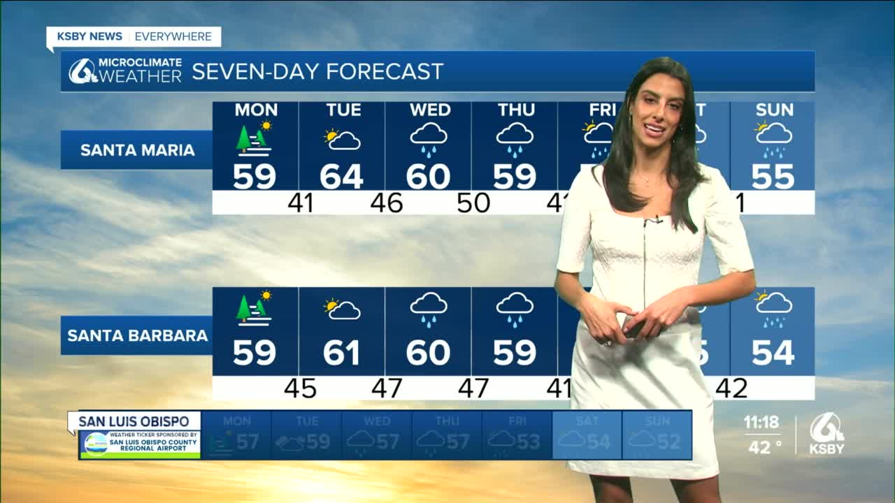
The ridge that is keeping us dry will persist through Monday but as it slides east, a wet system will be replacing it and adding clouds to the forecast starting Monday.
We have a few different systems swinging across the Central Coast over the next week, the first one light and starting Tuesday evening.
The beginning effects of this system will be clouds and marine layer deepening on Monday. This combination will cause temperatures to cool down, especially overnight where inland areas could see some frost.
Tuesday night into Wednesday will be when we start to feel the moisture from the first system, as well as a cold push of air dropping from Alaska. Rain totals from this first system will be light, tapping out at about half an inch in most areas.
The next system looks to be a bit stronger, starting Wednesday night through Thursday evening. There will be periods of moderate to briefly heavy rainfall, totally at about 1-3 inches (combined with the previous system) around the coast and valleys, while the foothills and mountains could see up to 5 inches.
During this period we could see now levels fall, causing some issues for holiday travel.
Into the extended forecast timing on the next few systems gets less accurate, but it is safe to say there is a high likelihood for a wet Christmas.
Throughout the seven day forecast you can expect temperatures to stay cool, sitting in the mid 50's and mainly cloudy skies.
If you have holiday plans through the mountains, continue to check weather updates as blowing snow could cause some travel delays.


