


Hey, Central Coast! Here's a look at your weekend forecast.
Saturday morning started quite cloudy, with plenty of marine layer clouds spread across the coast and coastal valleys. The clearing occurred during the early afternoon.
However, some beaches are likely to remain mostly cloudy through the afternoon, and areas away from the coast will be mostly sunny.
Night through morning, low clouds are expected from now through Tuesday. There is a possibility of dense fog appearing around Sunday night.


It will be another breezy and gusty Saturday as southwest-to-northwest winds will increase during the afternoon.
The winds will remain gusty over southwest Santa Barbara County, and they will be stronger on Sunday and Monday night. But the winds are expected to expand to the east and into the wind-prone areas of the eastern Santa Ynez Range.
A shift in the weather pattern is expected by the end of this weekend, as a broad upper-level trough of low pressure currently sitting over the state will weaken by Sunday.
The trough will be replaced by an upper-level ridge of high pressure that will begin to build into southern California Sunday into Monday.
By Tuesday, the high-pressure system will be strengthening in the Four-Corners region.
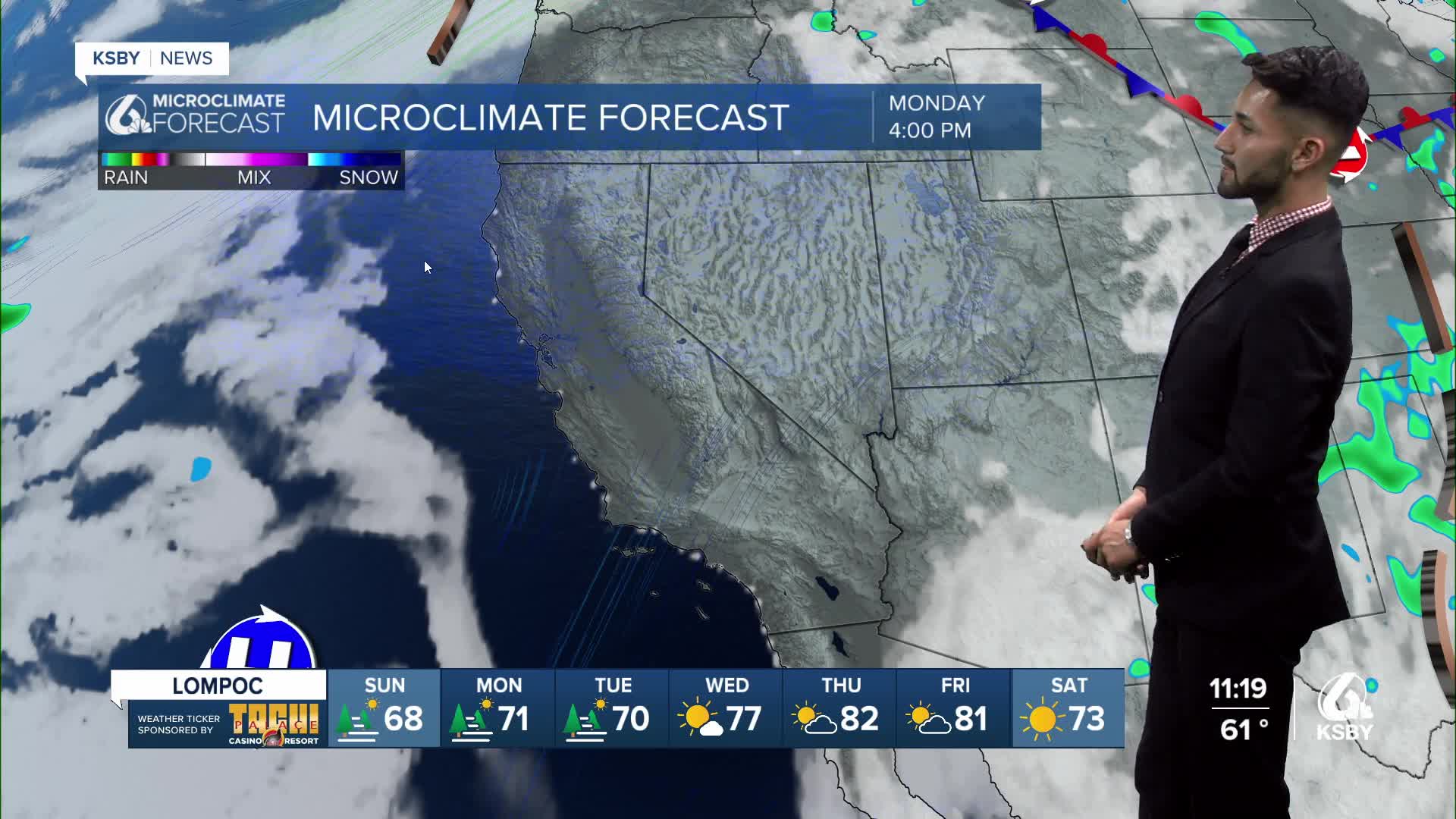
A warming trend is expected to occur Sunday through Tuesday, with highs several degrees below normal on Sunday and Monday.
Have a great weekend, Central Coast!
-Eddie
Fire forecast:
According to CAL FIRE, as of Saturday afternoon, the Gifford Fire has burned nearly 130,000 acres, and containment is at 73%. For the latest updates on the Gifford Fire, click here.
As for the smoke, we saw dense levels of smoke at the location of the Gifford Fire early Saturday evening. A light presence of smoke will stick east of Santa Barbara and San Luis Obispo counties late Saturday night.


