Good evening Central Coast!
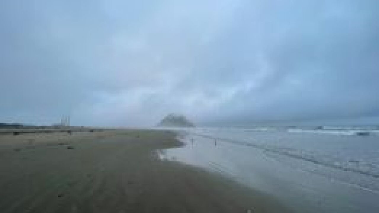
That darn marine layer continues to blanket the beaches and even parts of the coastal valleys. Day-time highs fell short of expected temperatures because of of the clouds, at least at the coast but the interiors remained unaffected.
Increasing off-shore flow should help to ease the depth of the marine layer through the next few days but Saturday morning is poised to be another cloudy one.
Temperature wise, expect another round of 90's through portions of the interiors. Our coastal areas are forecast to hit the upper 70's to low 80's but depending on the speed at which the clouds clear we could see temps fall short once again.
Those 90's at the interiors will start to drop off by Monday next week where the 80's will take over. Not exactly fall sweater weather but its an improvement! Models were showing a bigger cool down previously but have shifted more towards minor changes for the interiors and even another small warm up by the end of next week.
Coastal valleys will drop back into the low 70's for majority of next week and the beaches will mainly remain in the upper 60's to lower 70's.
That's all I got for ya! Have a great weekend!


