

It has been an active winter for the Central Coast and it looks like we’ll end February that way as well.
The heavy rain and ample snow the Central Coast saw last week was eye-opening. For low elevations (down to just under 1000ft) this is the kind of snow we usually only see once a decade or two. We saw two such snow events on back-to-back days. We may not even be done with snow, snow levels again drop to about 1500ft Tuesday night into Wednesday morning. It shouldn’t be as extensive as the snow that closed last week.
Additionally, more rain is likely. Today a cold front is pushing thru the region and another similar cold front moves thru Tuesday into early Wednesday.
Today’s front also cranked up winds and SW winds of 15-30 with gusts to 45mph is likely thru 10pm.
Other advisories include a winter weather advisory for Santa Barbara County which turns into a winter storm warning Tuesday at 1pm and lasts until the system exits Wednesday.
The highest elevations of the Santa Barbara County Mountains could see 6-18” of snow but those kinds of totals are more likely near the Kern County border. I think we`ll also see some low-elevation snow across the region. Right now, snow levels are up at roughly 3500ft but it should drop to about 1500ft by Wednesday morning. No, or only light accumulations are likely at low elevations. Still, we could see it again near the Cuesta Ridge, the SLO County north coast hills, and the interior hills and mountains of SLO County but again much more likely in Santa Barbara County.
Waves are high as well with a surf advisory beginning Tuesday morning into later Wednesday: 10-13ft. foot breakers are likely with dangerous rip as well.
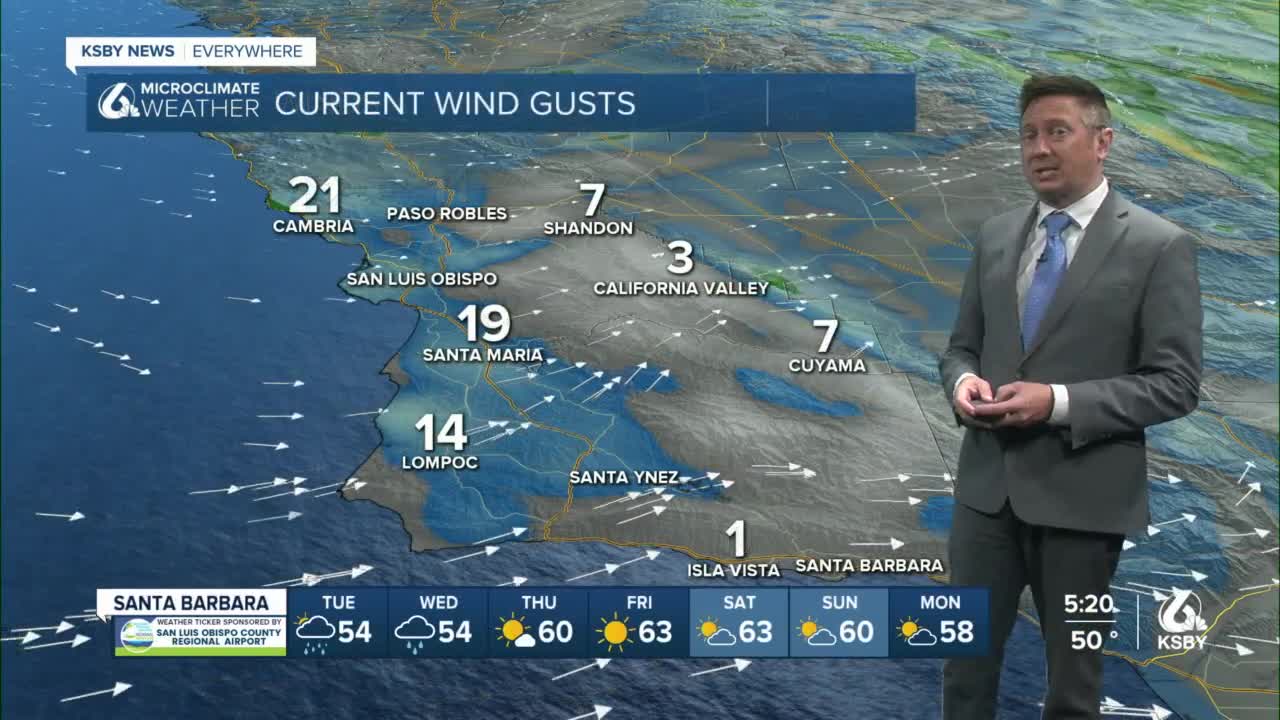
We will finally get a several-day break in the rain from Thursday thru the weekend and early next week.
However, mid to late next week the pattern looks cold and wet again with models currently favoring a significant system during that time frame.
