


Update 11AM-
For a look at the rain totals from Mondays storm visit this link!
Original Story-
Good morning Central Coast!
To kick off our Tuesday many locations will still have standing water and mud from yesterdays well needed storm but those rain chances are not gone yet, more rain (although significantly less) is possible Tuesday morning as the cold front continues to push east.
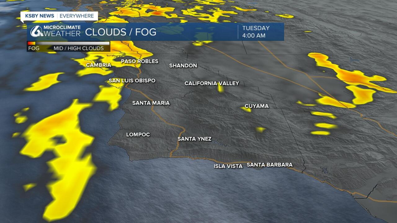
In addition to standing water, many locations may see some patchy dense fog in the morning hours that will severely limit visibility on our roadways.
Now back to yesterday's storm... this late-season rain system is a record-setter for some, rain this late in the season does happen but systems this profound are rare.
Not only did this system dump rainfall, it even exceeded some of our robust forecasts. Our high side in the forecast was up to 2" and already this system has produced some areas of 3" rainfall in parts of the Santa Ynez range.
There are still some rain chances pushing though the region to start the day today into the mid morning hours. Those chances are mostly along the south coast.
Our rain season ends at the end of this month when the new season officially begins as the season runs October to September.
The interesting thing is that despite this robust rain for some, others actually saw lower amounts. So in terms of covering seasonal shortages, this won't do it. Of course, rain is badly needed with the entire state in drought.
Why the higher rainfall totals? Well, the system did sit and spin (which was expected) and I pointed out last week that should a boundary stall on our area the totals could go up, and that is exactly what happened.
The parent low is still spinning to the west of the Bay Area with the post-frontal boundary (now a trough) sits across SW Santa Barbara county. The flow along the boundary is causing "training" showers. This is when a shower forms moves over an area and when it departs is often replaced by a similar shower. If this happens long enough the rain adds up and you can get flooding. This is the case across SW Santa Barbara county where an areal flood advisory was posted and subsequently expired.
The boundary that rain is falling along is weakening slowly and should slide a little further east. Modeling is showing diminishing showers into Tuesday morning with significant clearing in the afternoon and evening. The parent low off of the Bay Area does eventually lift out to the NE and high pressure builds in.
In the short term, I mentioned the diminishing showers. We will see some sunshine developing Tuesday and temps will get into the 60s and 70s. Temps rise especially after mid-week with 90s returning inland and 80s to the coastal valleys. Beaches will see a lot of marine influence Tuesday and Wednesday but also warm a little as the week moves along.
Have a great week Central Coast!
