


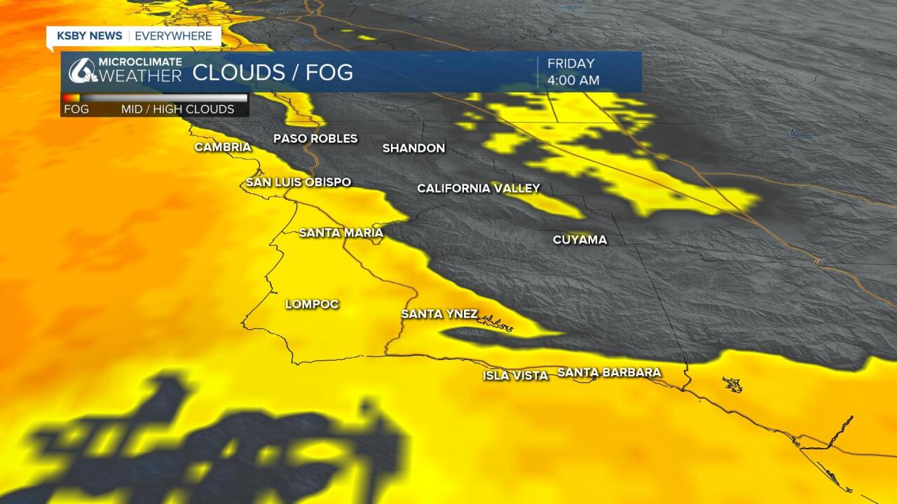
Good Morning Central Coast! To kick off our day there is a little bit more lingering marine fog than yesterday. This is limiting visibility on some roadways but will not make too much of a difference through the daytime hours as most of it will clear the Central Coast by the mid morning. Lingering longer along the coasts.
Today will look a lot like the last few days, at least temperature wise, the interior valleys will see a few degrees of warming, although it will not be too noticable. Interior Valleys will be in the upper 80s and some low 90s. Elsewhere 70s in coastal valleys and 60s at the beaches.

Saturday and Sunday look cooler as a low pressure passes through the region. Onshore winds and greater marine influence will drop interior temps into the low 80s Saturday with a minor rebound Sunday. Coastal conditions will see plenty of night and morning clouds, and even some mist and drizzle is possible with the upper low nearby.
Early next week should remain mild with perhaps slightly warmer temps than the weekend.

The mid-to-late next week outlook became a bit murkier. Models which agreed on an upper low spinning up and bringing rain to CA now disagree and have for most of the last few runs.
We have low confidence extended forecast right now, with small changes making big changes to our forecast. The models do agree that the following weekend could see a cold front roll thru the state for more shower potential.
Have a great Friday and a Fantastic Weekend Central Coast!
