


Good morning, Central Coast, happy Tuesday!
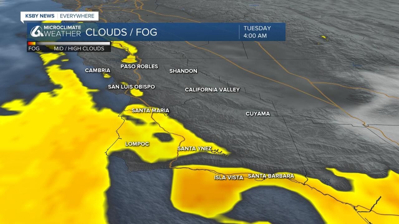
To kick off our Tuesday Morning there is some more marine influence across the coastal valleys and beaches that may drop visibility for the morning commute. It is not as widespread as Monday but still something to be aware of.
Monday shaped up to be a mild day with highs reaching into the 80s inland but staying in the 60s near our beaches. This represents a marked cooldown from the weekend.
Temps today will begin a rise again with beaches into the low 60s, coastal valleys in the upper 60s and some low 70s and the interiors reaching into the 80s.

The roller-coaster continues this week as temps again rise, and even further than they did late last week. Inland temps likely hit 90 later this week while coastal temps also warm but it’ll be muted warming due to ocean moderation. Highs this weekend coasts will be in the mid 60s while coastal valleys will be in the mid to upper 70s.
Thankfully this pattern, while driven partially by offshore winds, will not be overly windy. Some offshore winds are expected but they will stay below advisory level.
Alongside the warmer temps there will be a more persistent marine layer, expect low visibility each morning this week.
By the very end of the 7-day forecast there is indication of our next pattern change.


Monday of next week the ridge of high pressure will begin to degrade and open the door for a more progressive pattern.
Initially this will mean cooler temps and a bit more cloud cover, then a series of rain chances move in.
This is still a long way off so changes are expected but here is how it is currently looking.
Initially, the trough of low pressure digs out to start the month, and in the form of an inside slider bring the chance of a few showers. More instability is expected even into the second week of May.

Even if rain doesn’t develop this pattern would produce below-average temperatures. These extended forecasts can change a lot this time of year, including big flip-flops but this output is starting to show up more consistently leading to at least keeping it as a development to watch.

Have a wonderful day Central Coast!
